I have a DTM with cel size 10 x 10. I am trying to create contours for scale 1:25000 using the tool on Defense Mapping
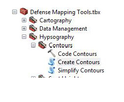
Create contours.
I have insert parameters as seen below...
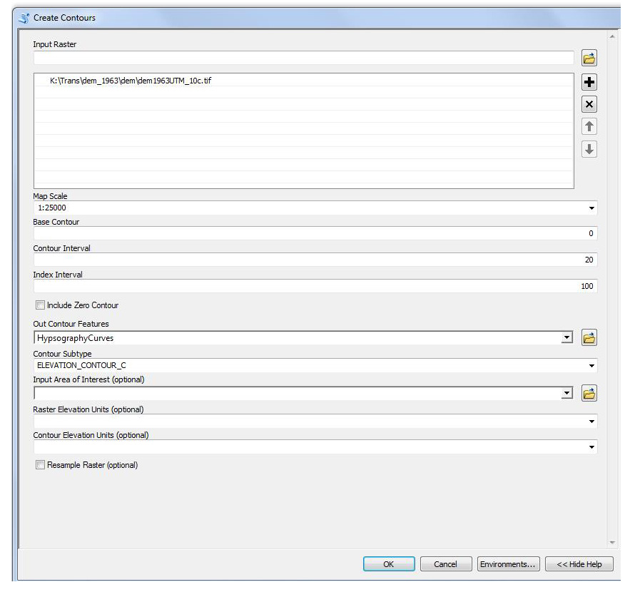
The results that i get includes only contours from 20m - 900m height.
But in DTM i have elevation up to 1940m. Why this information has been lost. Where is the problem? Should I resample my raster again and if yes what is the best cell cize for resampling for the above scale?
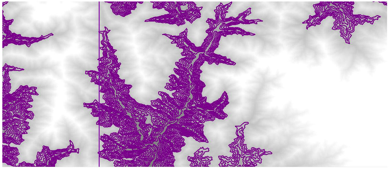
Above is the result with the gap of contours areas
Thanks
Argyro


