Hello,
I am having a scale problem with my ArcGIS for AutoCAD 370 basemap.
My AutoCAD Drawing is really big compared to the basemap but it has the correct measurements and the CAD file is in the correct location. #arcgisforautocad.
Using NETLOAD I imported ArcGIS for AutoCAD 370 and by selecting Add Service I assigned a projected coordinate system UTM WGS 1984 17N in a World_street_Map since the drawing is in Florida but I never did anything else in regards to the units of my map.
To solve my problem I tried changing the GIS coordinates drawing units using the location tool but it didn't work. The next images show what I did
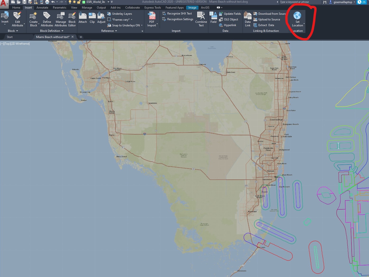
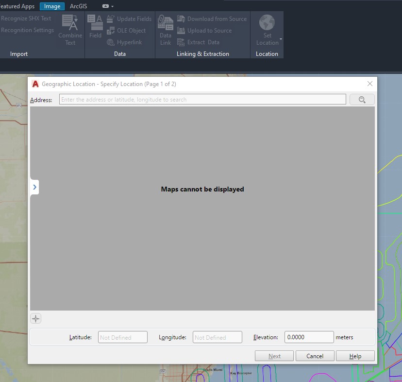
Once I opened the Location tool and I select "From Map" this is what I see:
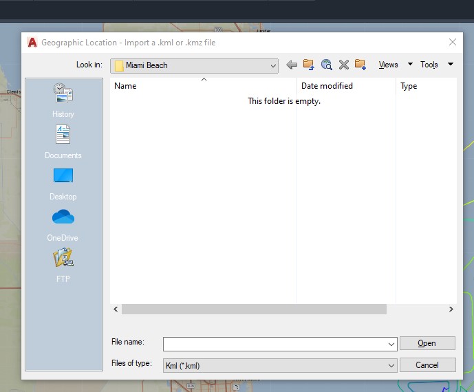
and if I select "from file" I see this:
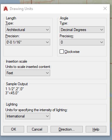
My autocad drawing units are set as follows:
I am not sure what to do next. I have tried to see how could I change my map units but I can't figure it out.
I would appreciate if someone can help me with this.
Thanks!


