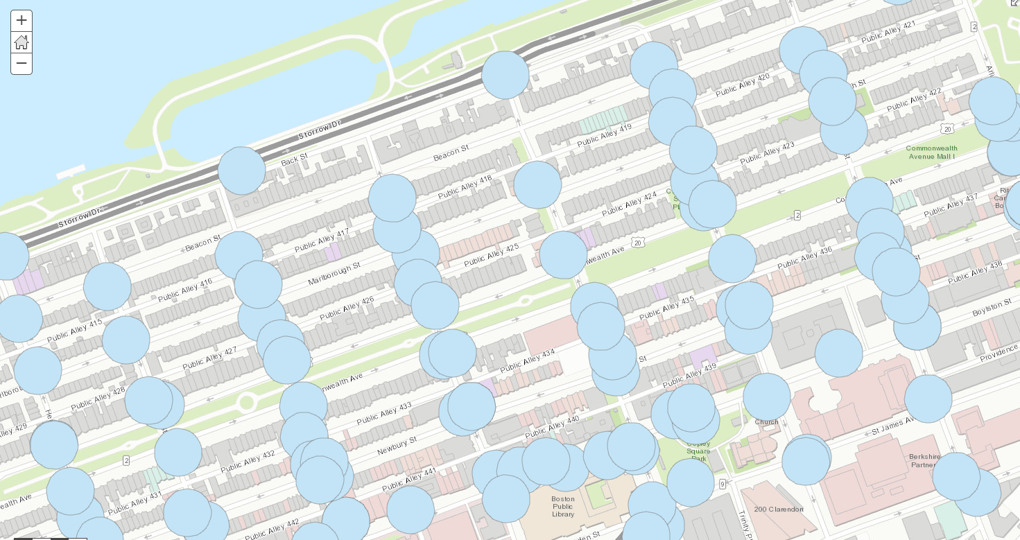
Hi,
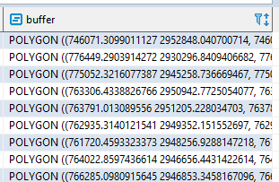
Using PostGIS I have created a geometry column which contains a 100 FT buffer around each point. I'm trying to take this from PostGIS and create/update a feature layer in ArcGIS Online. This will be part of an automated pipeline and I'm using the arcgis python api. How I normally update datasets is I first upload a csv file and then overwrite that csv using the api whenever new data is received.
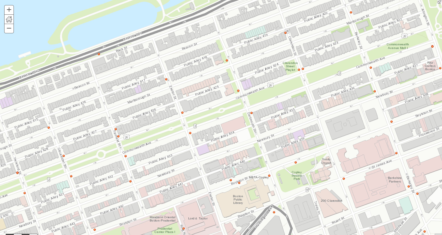
I've tried exporting this data in a CSV and a shapefile and then uploading that to ArcGIS Online but there is no option that I could see to choose to display the buffer polygon. It only will show the points.
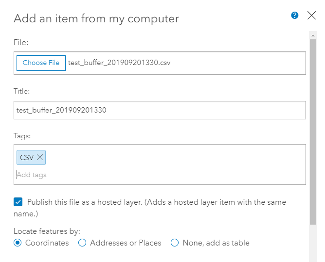
Uploading CSV:
Buffer column in PostGIS:
What happens when I upload the data:
What I'm trying to achieve: