Hi there,
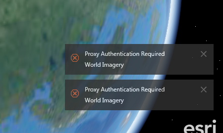
I have just downloaded the ArcGIS Earth application and I had hoped to be able to roll this out to planners and other teams within our department. However, the resolution never changes when I zoom in from the initial globe view. When I try to add any background maps(for instance World Imagery) from AGOL I get the error message "Proxy Authentication Required." How would I get around resolving this issue and displaying the advantages or ArcGIS Earth to the team?
Thanks all
Jamie