Hi,
I'm currently using Arcmap 10.3.1. and I am trying to manually outline glacier extent on Landsat imagery at 30 m resolution. I wan to draw a straight line around each pixel edge to create a polygon of glacier area. When I am drawing the line they often have angle changes in them so that they do not appear straight (see image below).
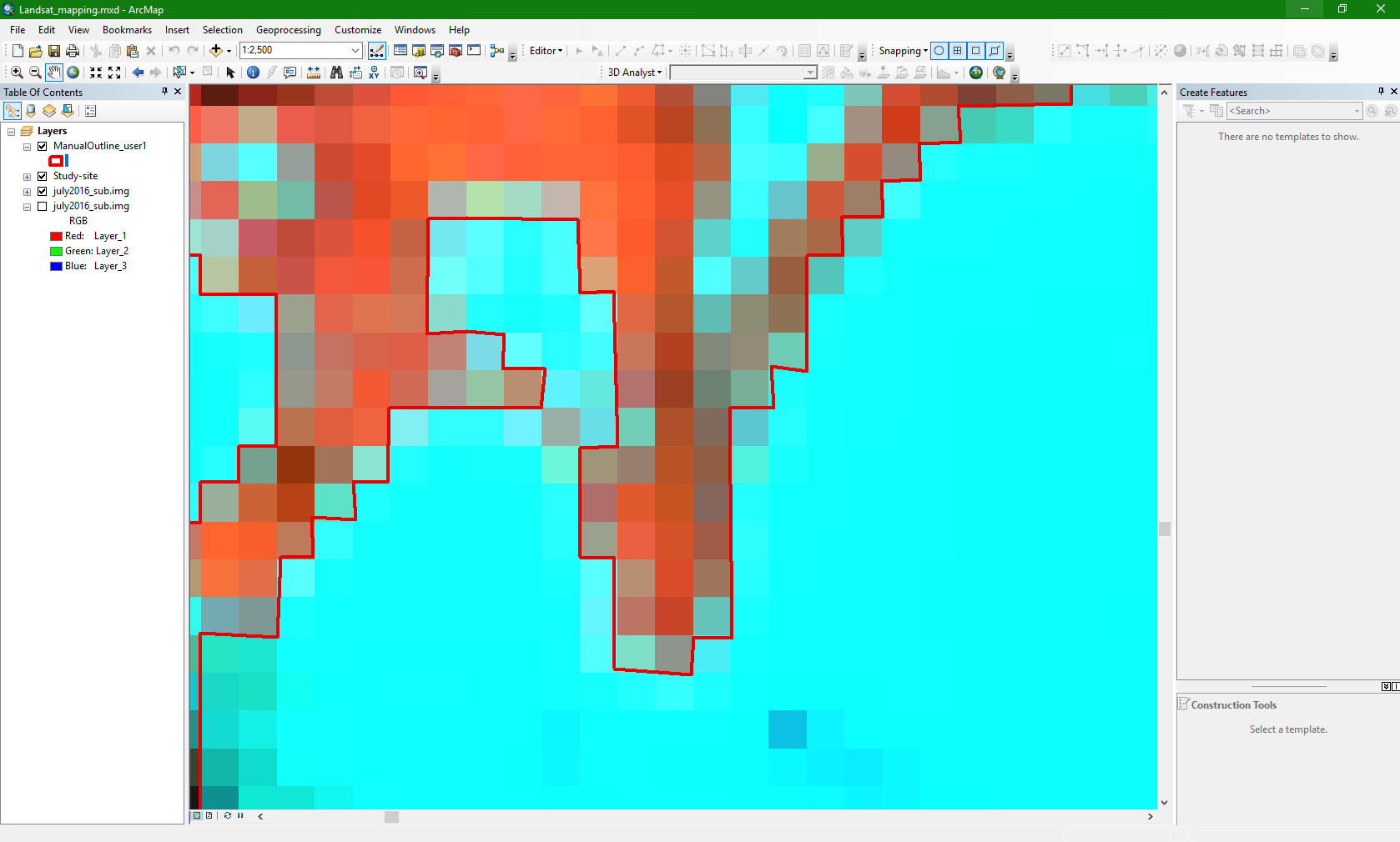
Is there a way to efficiently draw perfectly straight lines? - e.g. shift and drag as in Adobe Illustrator to get a perfectly straight line
Thanks in advance.