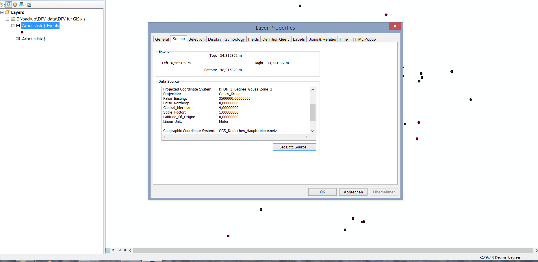
Hello everyone, I was making point data from xls/csv file. But i want to project my data into a Projected coordinate system, not in GCS. As this data is from Germany, so I was trying to make it into DHDN Gauskruger 3 zone 3, but unfortunately this is not working and the dataframe unit is showing decimal, see the attached image bottom right corner. I tried with ESPG 1989 33N also but its same. Any idea?
Regards
muqit




