Best practice to export a feature class (stored in file geodatabase ) to feature dataset (of different coordinate system),
According to ArcGIS, if a feature class is exported to feature dataset, then the coordinate system of the feature class will be automatically converted to be the same as the coordinate system of the feature dataset.
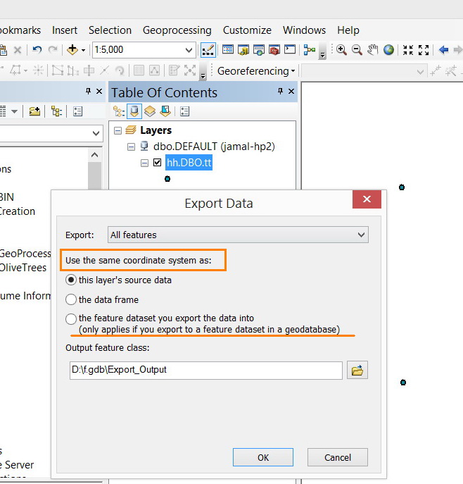
Does projecting the feature class before exporting to the feature dataset produce more accurate results?
Thank you
Best
Jamal


