Hi,
We need to merge two DEM rasters, so the values from raster 2 (see below) will be "inserted" into the raster values of raster 1. As you can see in raster 1 we have buildings which need to get cut off the surface. Raster 1 is from LIDAR raster 2 is a DEM. We want to visualize these buildings in ArcScene and drape the orthophoto ontop of the LIDAR raster, but the draped orthophoto would look bad in the buildings areas:
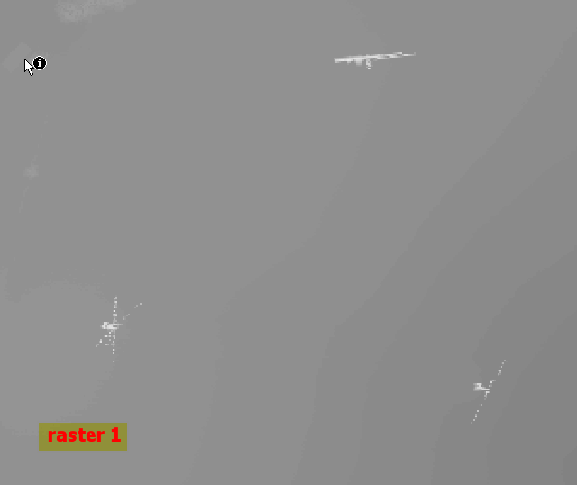
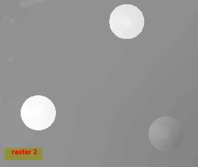
With raster calculator usage we only would get the buffer zones around the buildings without the rest of the LIDAR dataset info.

