Hi all!
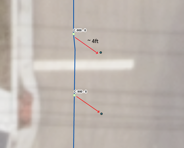
I added a point shapefile, downloaded from one of our Trimble survey controllers, to my ArcPro project, and I noticed that the On-The-Fly projection is way off.
The coordinate system of the project is NAD 1983 StatePLane Utah Central FIPS 4302 Feet, and the shapefile's spatial reference is GCS WGS 1984, WKID 4326.
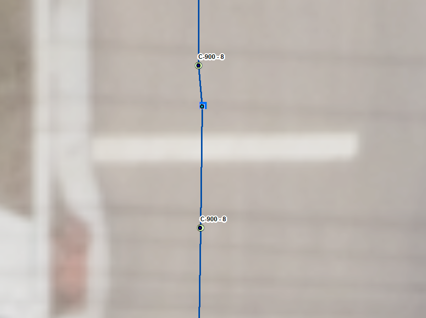
This problem only occurs in ArcPro (left image) and not in ArcMap (right image),
What am I missing here, and how can I make ArcPro project the added shapefile properly?
Thanks for your help!



