I'm currently want write an Arcpy script to achieve the elevation map from TIF, look like this
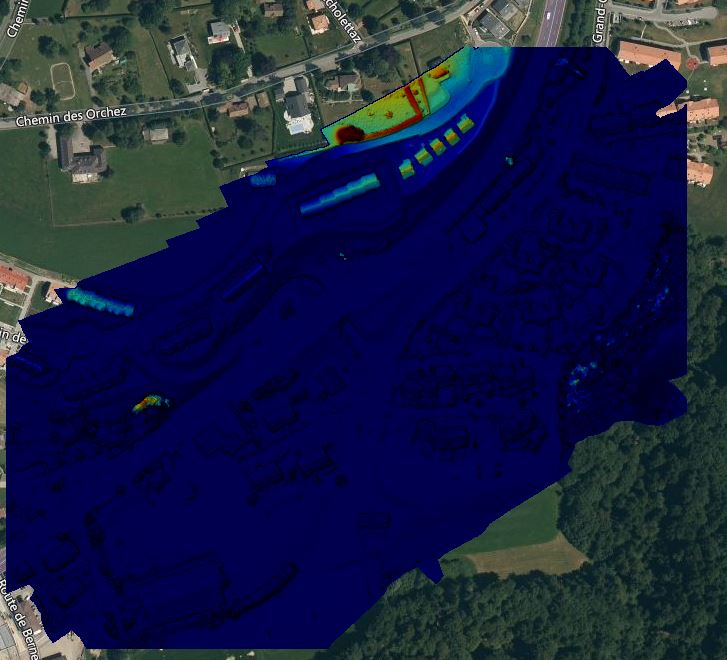
Currently i have the output of Pix4D that contains: DSM, DTM, Orthomosaic, Tiles etc.. But i don't know where to start. I really appreciate all of your helps. Have a nice day

