I have a Las Dataset with a surface constraint on it. The surface constraint is present and enabled on the las dataset
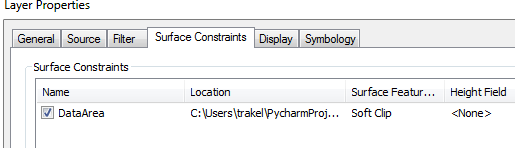
From this las dataset, I have created a layer which represents only the ground points. I wrote a python script to do this. I used the tool arcpy.management.MakeLasDatasetLayer followed by arcpy.SaveToLayerFile_management. However, I notice in arc map when examing the new layer which represents ground points that the suface constraint is present but not enabled.
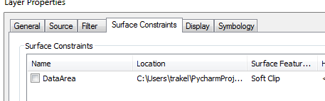
I have to open the properties of the layer which represents only ground points and enable the surface constraint from within arc map. Is there a way to do this programmatically? I have hundreds of these to do because my client's lidar data is organized into many folder representing many flights over many years.

