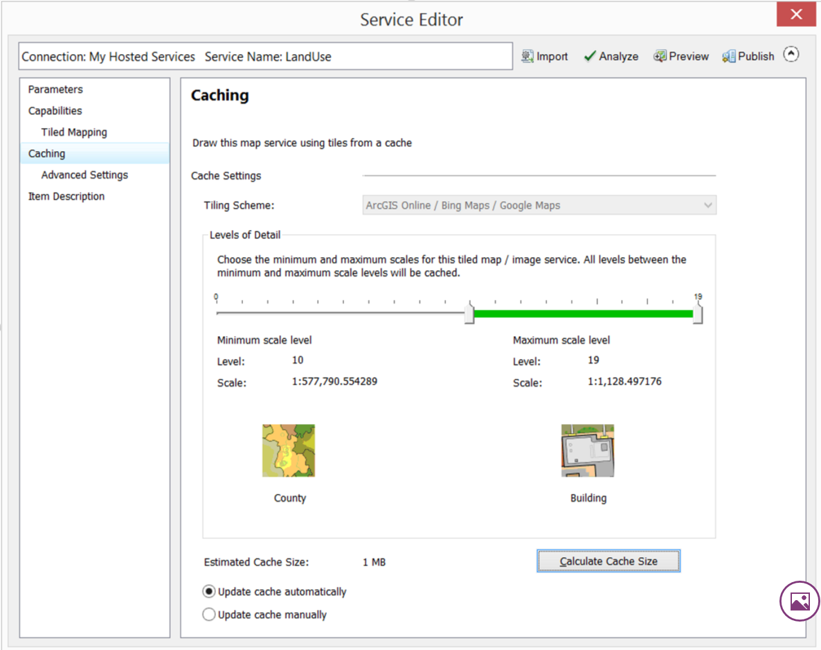
I've created a layer in ArcMap and set my Cache from County (10) to Building (19) in the Service Editor.
I publish the Layer to AGOL and add it to a map.
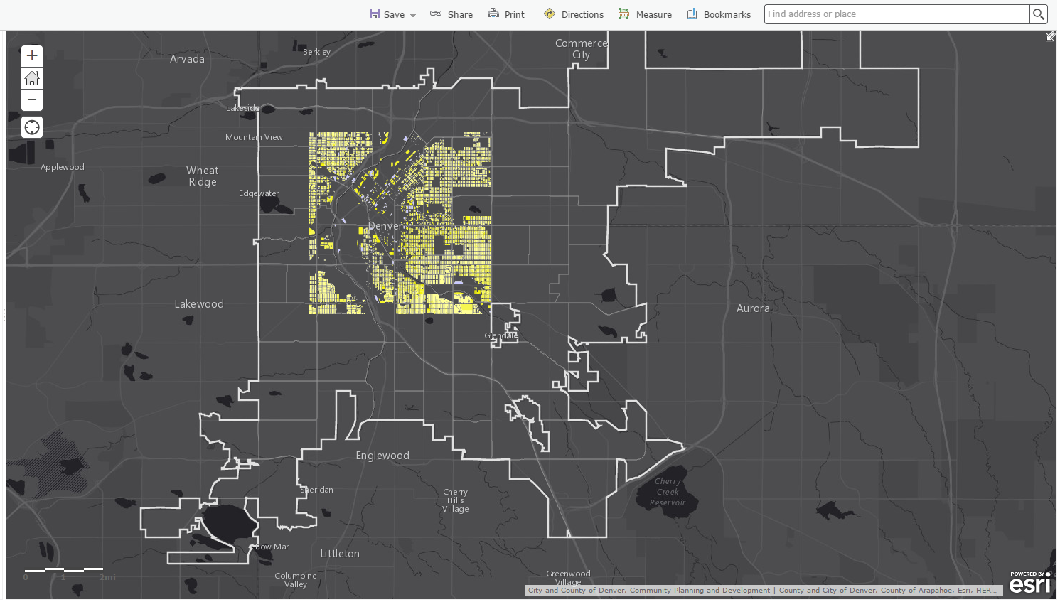
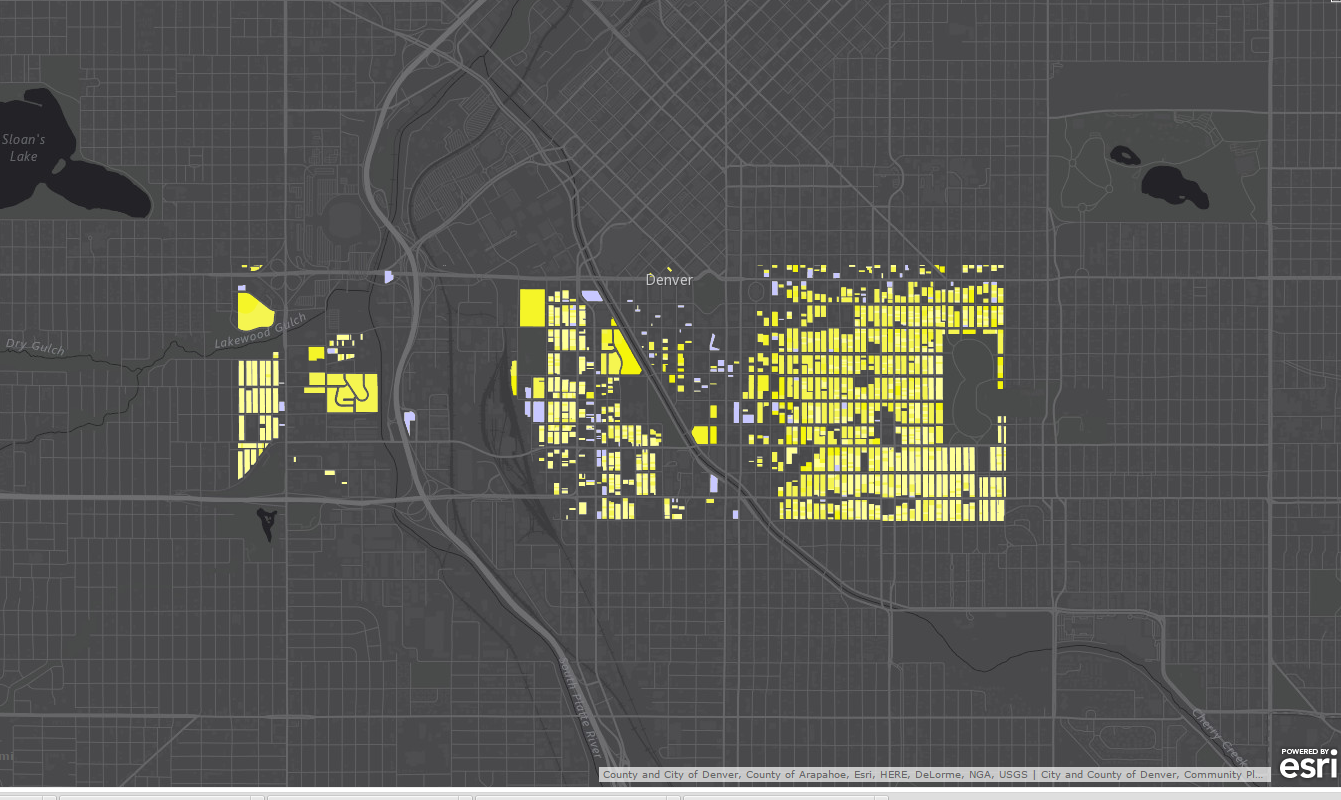
Only some of the tiles are being displayed when I zoom in rather than the full extent of the original Layer. As I zoom out, I see additional areas. Is there a configuration setting that must be set to see the entire extent at all levels?
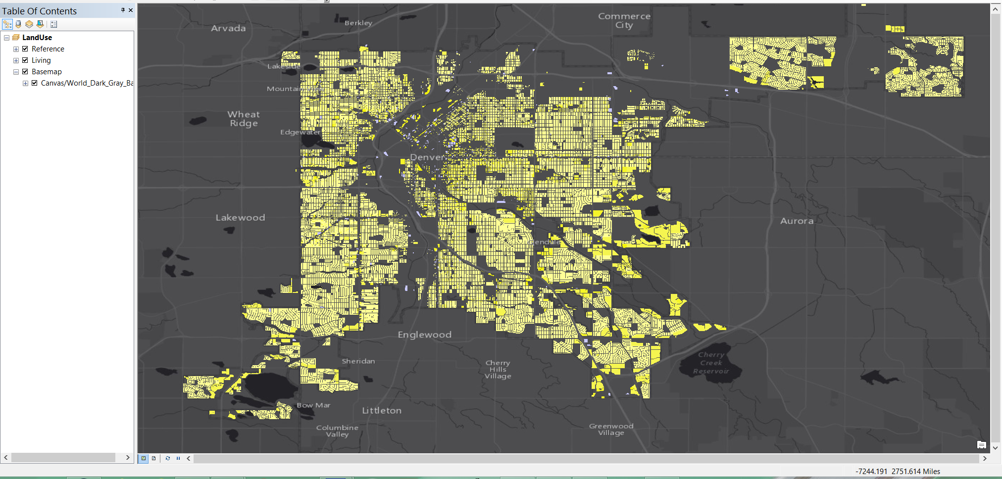
This is my map in ArcMap - City and County of Denver
Here are my Caching Parms. I also set it at full extent.
Here are my results. I expect all of the tiles to fill the screen regardless of the scale that I am viewing.
As always, thanks to all for your responses. My learning is accelerated through your generous contributions of time and knowledge!
RQ
