I try to use custom processor - Motion Calculator Processor for GeoEvent published by GeoEventTeam http://www.arcgis.com/home/item.html?id=03c440742bbd4686b16420164d30e448
For testing, I use GeoEvent Simulator to send messages. When several messages comes in one TCP packet with different Track ID like this:
13,275,193,0.600,13.425000000000001,4.189,455606,1131970042,100,85,2159,7013200,6215,"38.17796,50.63868"
0,208,212,0.500,12.493,4.191,455095,31232,0,82,0,6994200,4224,"38.179044,50.630932"
12,276,190,0.500,13.432,4.192,455606,1102609658,100,84,2103,7013200,6215,"38.177224,50.63872"
The gaps was created in track lines. When I send only one message per TCP packet no gaps created.
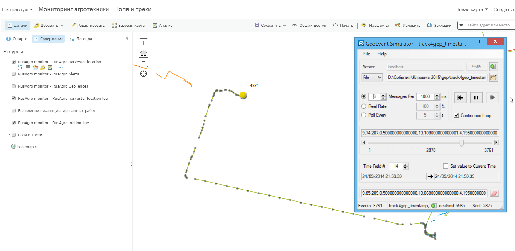
Some feeds that we receiving from telematics server sends messages about position of all trucks in one TCP packet. So we will not be able to reconstruct the tracks in real time. Please may be you know is it possible to fix this. Thank you!

