I have a polygon FC that has been divided in 4 zones and that is further divided into subzones and exported as a new FC.
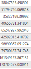
The issue is that the area of the original polygon (encompasses the entire city limits) has a larger area than the sum of all the sub zones put together.
For the sake of testing, I created two new fields called AREA in the original FC and the subdivided FC; both FC are in the same coordinate system and when calculating the geometry using the GP Tool I did not select a Coordinate system.
Is there a mathematical explanation concerning irregular polygons, their shape and why when combined their area would not equal the original polygon that they were split from?
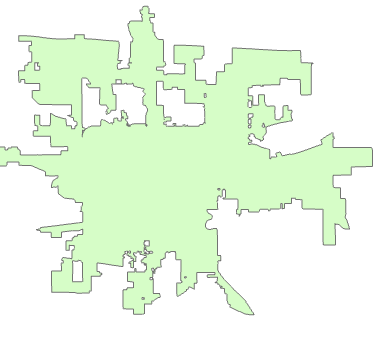
AREA:

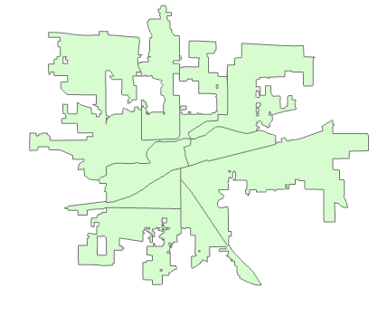
AREA: