Hey, guys
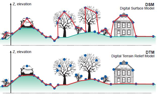
Many of our LAS data (which were not processed/ classified by the data vendors) urgently need edit and clean up, in particular, detection and removal of massive ‘outlines’. After well done in this way, we expect that the results of LAS data can well represent DSM (digital surface model). Of course, those DSM will be used to do further processing and analysis.
The question is:
In ArcGIS, any effective GP tools can be used to assist us to meet this goal?
Ideally, a GP tool that utilizes RANSAC algorithm (random sample consensus) is available. If not, any alternatives?
Please advice