I have data in 'NAD_1983_2011_StatePlane_North_Carolina_FIPS_3200_Ft_US' (wkid 6543) that needs to be loaded into a project that's in 'NAD_1983_StatePlane_North_Carolina_FIPS_3200_Feet' (wkid 2264). Which transformation do I need to use for this?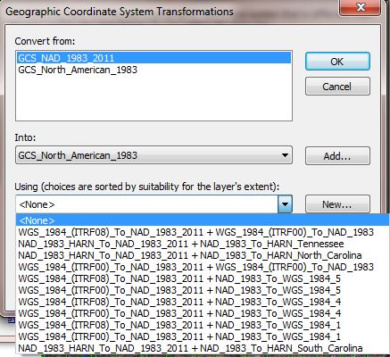
Jack Drost
Henderson County IT/GIS
Hendersonville, North Carolina