Hello all,
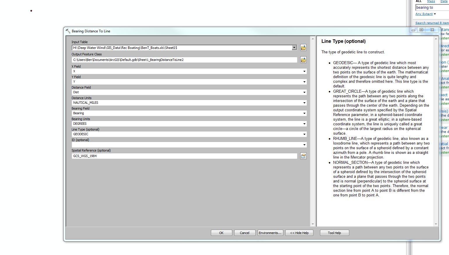
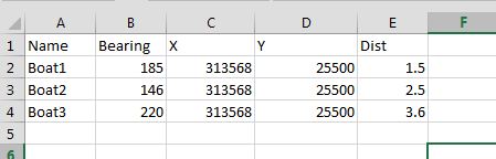
I am currently trying to plot a set of boat observation off the coast of a local island. The observer is at a fixed point and he recorded boat observations as a distance and bearing from his position. I found the tool "Bearing Distance to Line" which has the parameters I am looking for and it seemed like this would give me lines which I could then make points at the end of. When I use the tool it gives me an insanely long line which seems to have no logical correlation to the point of observation. Any help with this tool, or a suggestion for another tool would be greatly appreciated. Thanks!
Attached are two screen shots. x/y is in RI State Plane feet Nad 83.