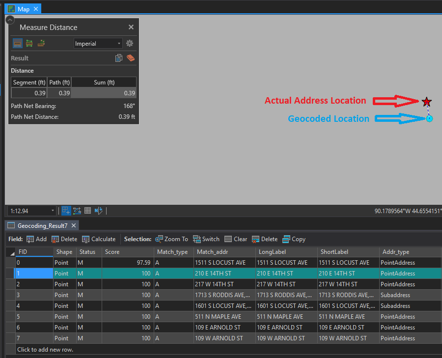
I created a locator in Pro using the "Create Address Locator" geoprocessing tool. It was a "US Address - Single House Subaddress". Then I ran the "Geocode Addresses" geogprocessing tool against a table of addresses, using the preferred location type of address location, and checked the categories.
What I am seeing is the geocoder has matched all of addresses in the table with almost 100% certainty. However spatially the results are off from the actual point. The results are any where from .3' to a foot and half off.
I have checked the data from the source and the map are in the same projection.
I am a loss. Should they not line up exactly?