I'm busy writing a Python module to calculate the NDVI (Normalized Difference Vegetation Index) based on the following post: Using Python to calculate NDVI with multiband imagery. According to the USGS background data on Landsat 8 Product, the tiles are provided as Digitial Numbers 16-bit unsigned integer format. The current examples (tutorials and reference material) that I've found to calculate NDVI use Landsat 5 + 7 which is stored as 8-bit unsigned integer format. Can I still use the same formula to calculate NDVI for Landsat 8 that is now stored as 16-bit unsigned integer format. The formula that I'm using is found in: Making Spatial Decisions Using GIS and Remote Sensing: A Workbook
NDVI = (IR-R)/(IR+R)
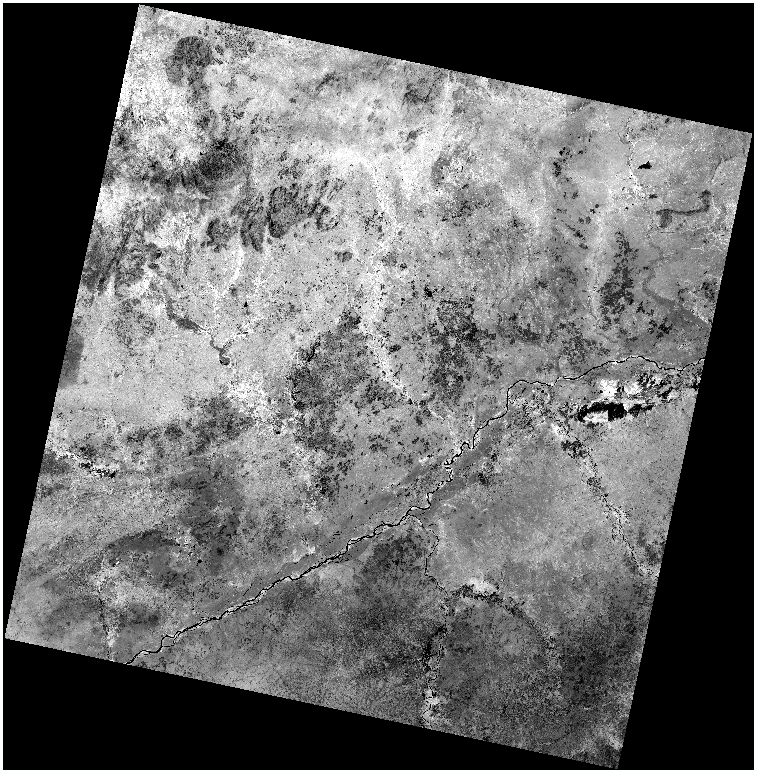
ArcGIS: USGS Landsat 8 GeoTIFF (Bands 4 + 5)
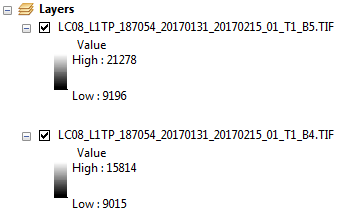
ArcGIS: scale range of Landsat 8 Bands 4 + 5

USGS: Using the USGS Landsat 8 Product
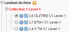
USGS EarthExplorer: Landsat 8 Dataset Selection
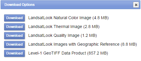
USGS EarthExplorer: Landsat 8 Download Options


