Hello,
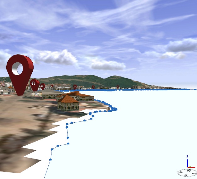
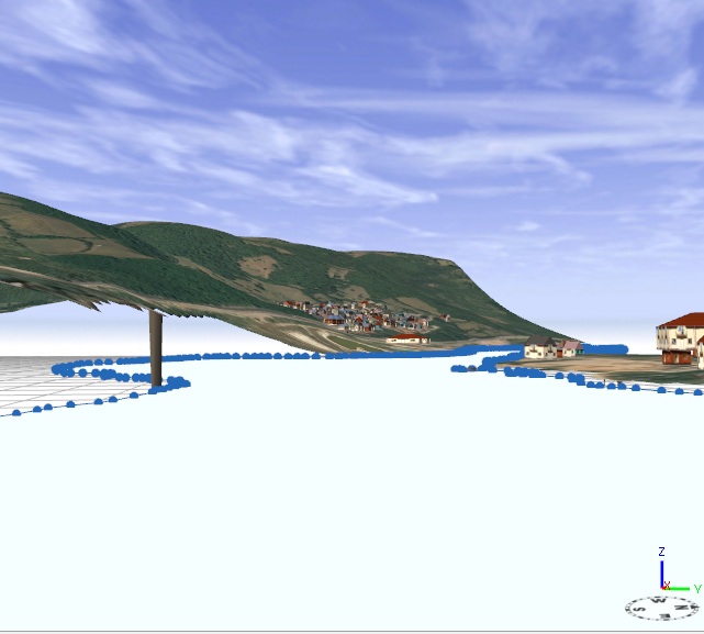
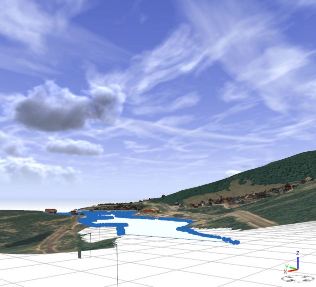
I have a problem regarding aligning a river to a terrain. For example: in west the terrain is lower than in the east and I`m having problem with the alignment of the river. Even if I use the optiune "Align shape to terrain", the river can not bend it`s polygonal form to the terrain elevation. I would like to use an option similar to "base heights" from ArcScene.
I have attached some prints.( The selected shape is the river and the terrain has a clipped ortophoto texture).
Any suggestions??
Thanks !!