I got a route (polyline feature) return by network analysis. I publish the feature service using ArcGIS Online - add item. The url is https://services6.arcgis.com/3xMWKvHmHKRqJGse/arcgis/rest/services/Route12/FeatureServer/0
And I confused about the path difference between shapefile and graphics added on the map.
In the arcmap, the polyline has a path with 28 points, while the graphics layer return 3 paths and 20 points.
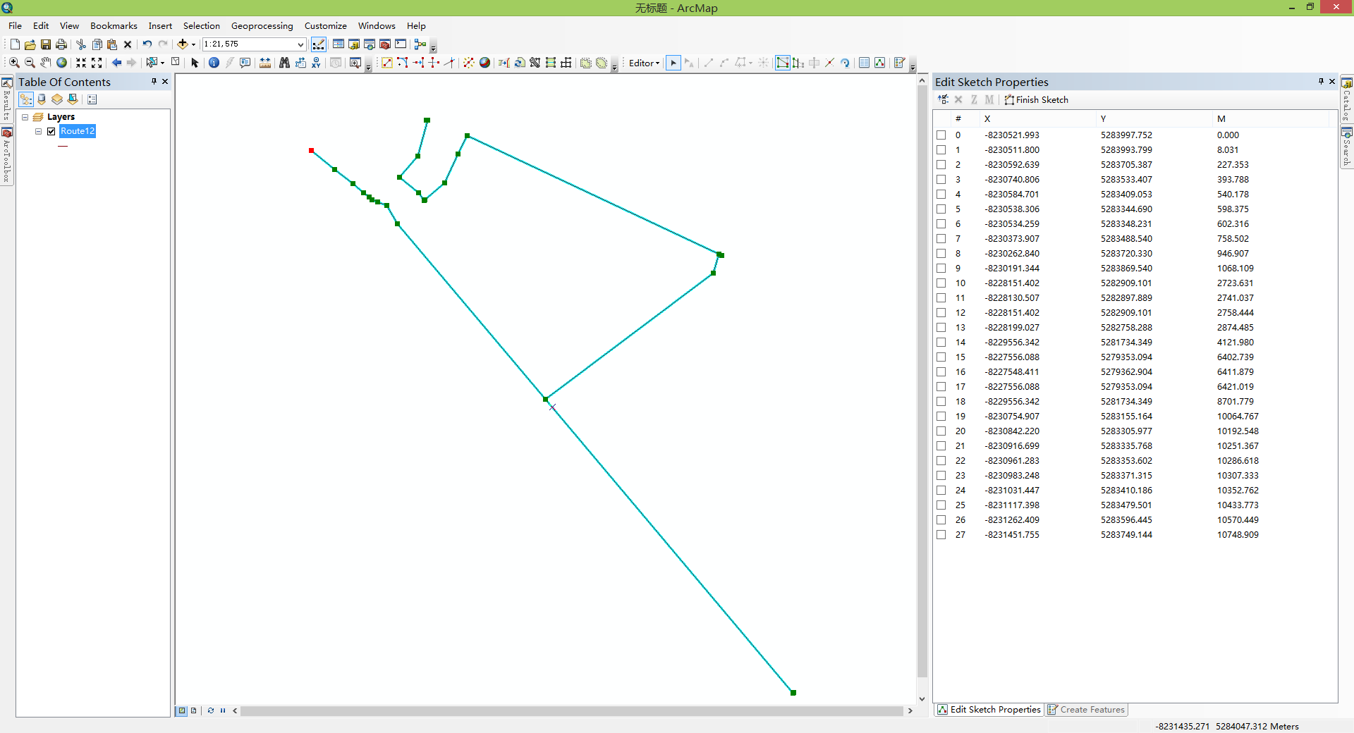
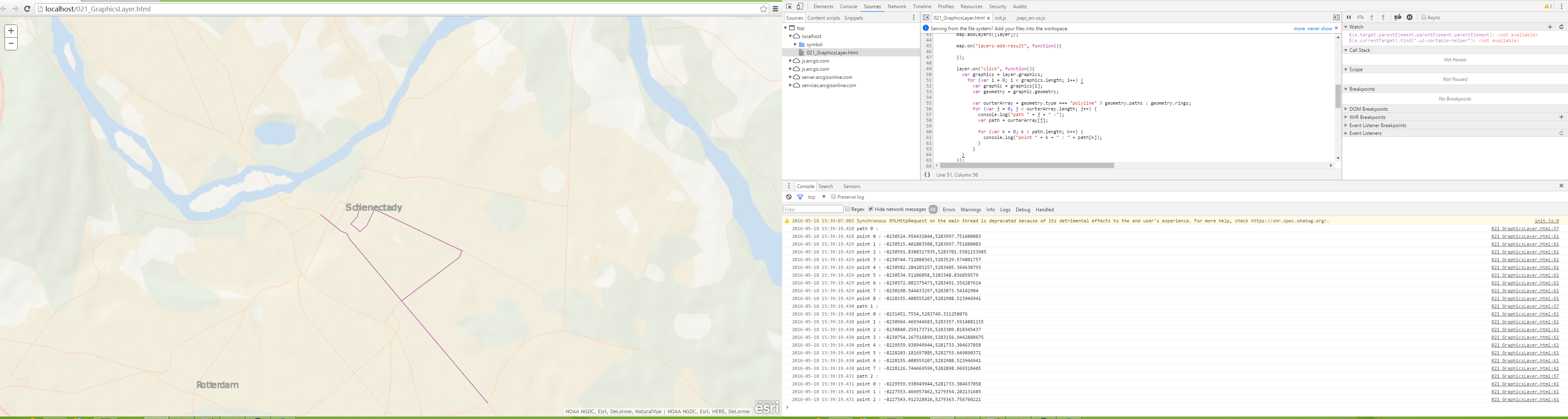
It seems that my data has been changed. but I can't figout the reason.
The attachment is my data(*.shp) and the scripts, please help me, thanks!





