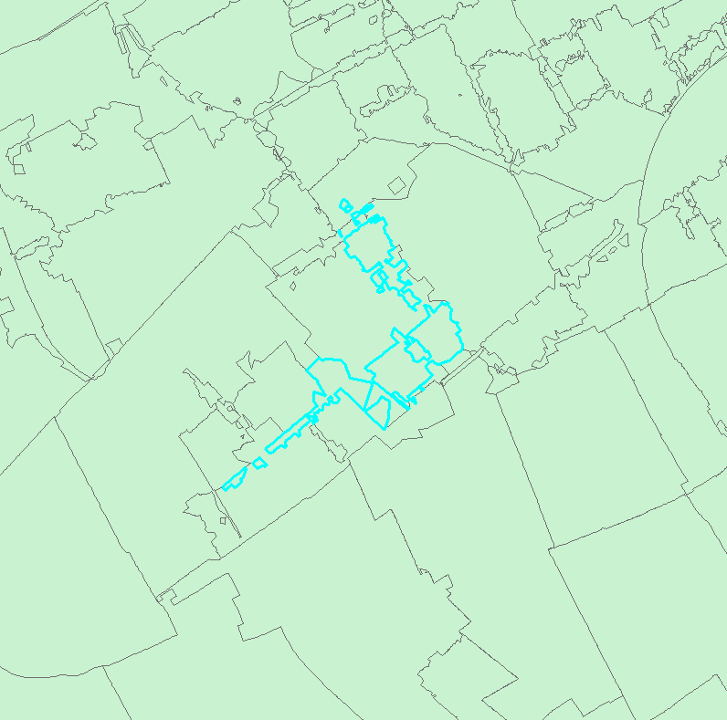
I have dissolved six position postal code areas (~ street part level) to create four position postal code areas (~ neighbourhoud level). Naturally, this has resulted in some strange shapes and multipart features (see below; selected area is a single feature).
I want to generalise these features and make them singlepart features, without losing the fact that the individual shapes share boundaries. Is there a way to do this?




.png)

