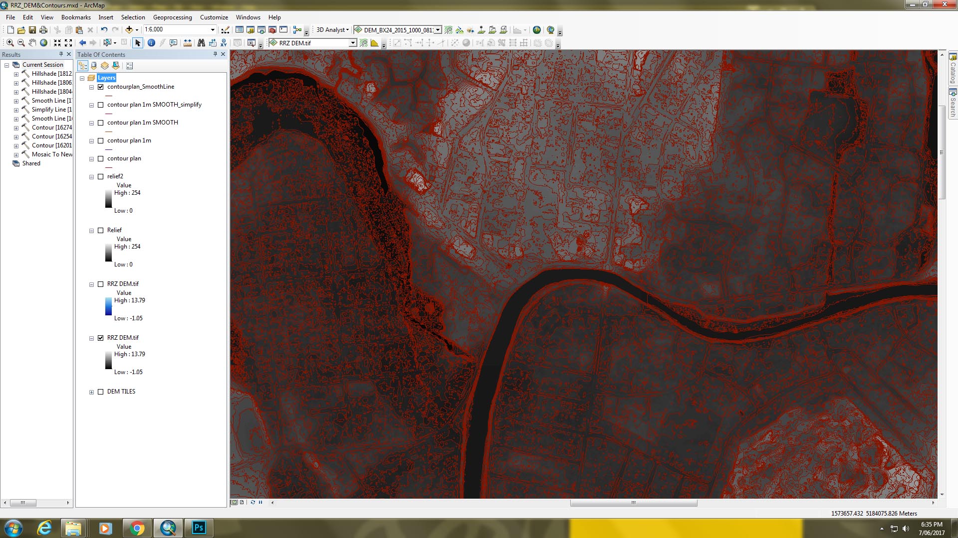
Hello All, I have generated a few different sets of contours (1m, 5m, .25m intervals) from a DEM I have of Christchurch city. With each interval tested above, the contours that result are very 'non cartographic'. I have tried simplifying & smoothing but would like a much more generalised outcome if possible. I also used the focal statistic operation on the DEM then generated contours from the outputted raster but the results were similar. Have I incorrectly used the focal statistic operation? Any suggestions / help appreciated! Thanks