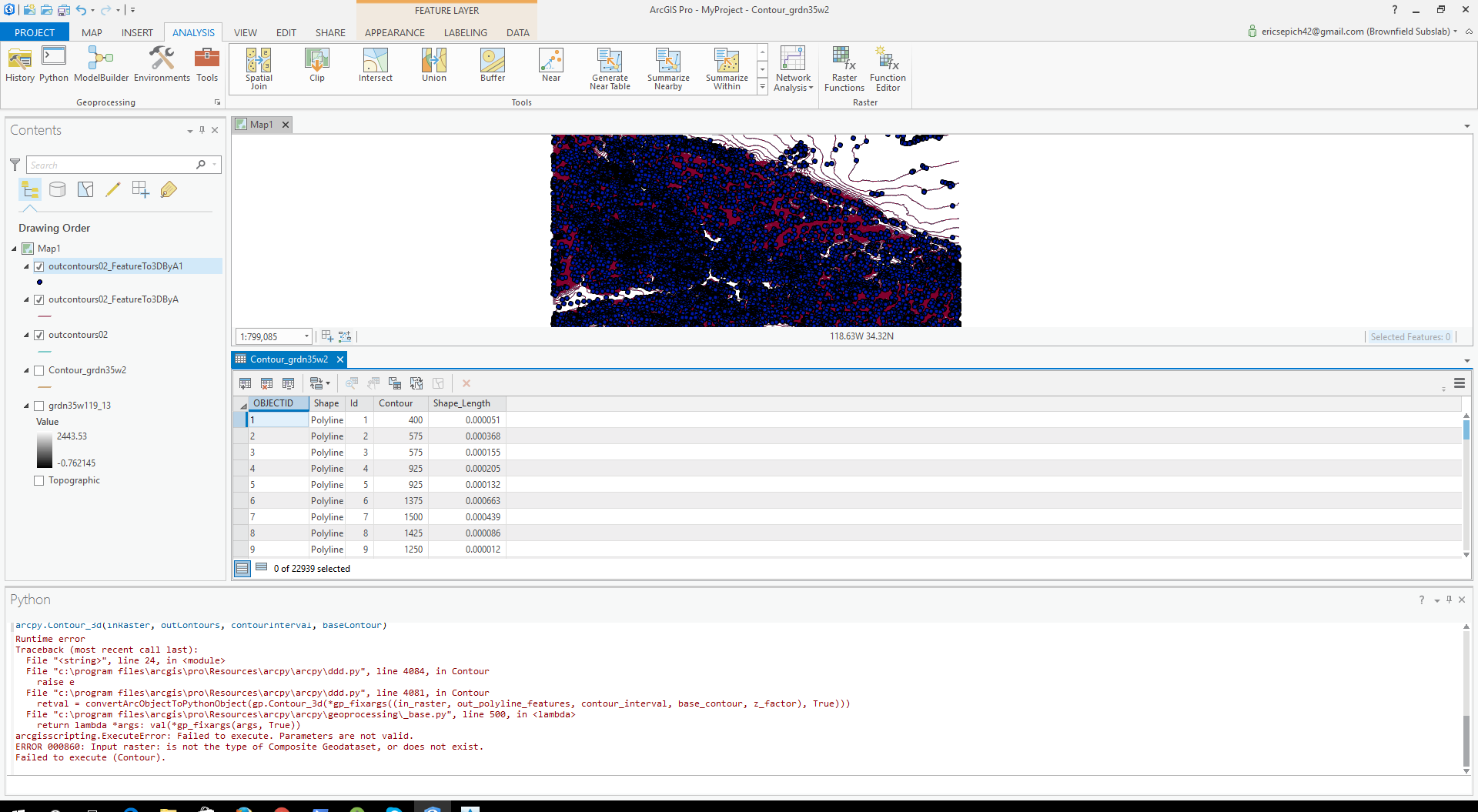
import arcpy
from arcpy import env
///
arcpy.Contour_3d(inRaster, outContours, contourInterval, baseContour)
The above works however when I look at my contour lines in AutoCAD they contain no elevation. For some reason the command only works on the base raster layer which came from USGS if I plug in another layer (like a contoured vector layer) if fails with an error. I really need to have elevations so in AutoCAD so I can build a DTM



