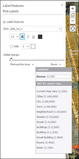
I'm trying to show cemetery label plots at all scales. I have tried to change the visible range within the label features (see screenshot below) but this wont let me go below 1:100. Anything that I type in below 100 will default back to 100.
The problem is that our cremation plots are approx 30cm x 30cm so even at a 1:100 scale these 3mm squares are too small to view labels (three digit numbers).
How do I allow labels to show below 1:100?
Is there an alternative way that would work?