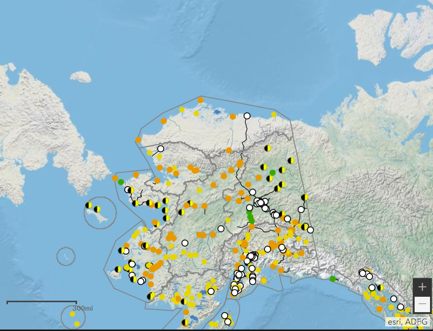
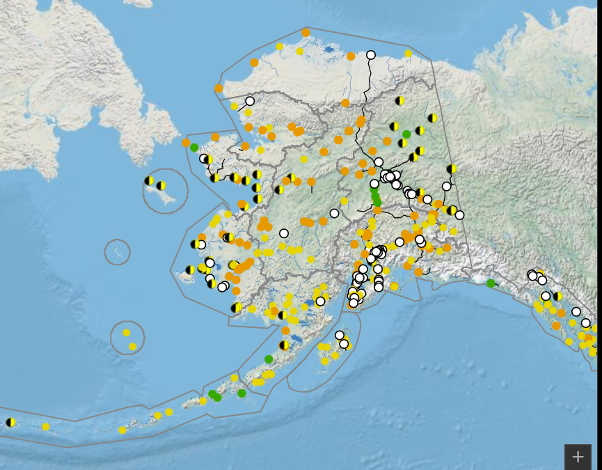
I've set up a dashboard with a list of communities and selectors set up to select from different layers in my map. The layers are boroughs, game management units, watersheds and subsistence regions. I've got the map set up to zoom to the selected polygon and filter the list of communities spatially to the map extent. The problem is that it doesn't zoom in far enough to make this useful. I've attached a couple of pictures. The first is the full extent of the map. The second is how the map zooms to the northern most polygon, which obviously isn't zoomed in very far at all. There are far too many communities (points) outside of the selected polygon and they all still show in the list. I've tried changing the zoom level in the JSON but haven't been successful. I've also tried adding the names of the polygons to the points layer so that I could filter by feature but that didn't work because the communities layer is from a query layer. Does anybody know how to change the zoom level of polygons?