HI there.
I’m working on a project, where I would like to create polygons, where there is a slope change above 60 degrees, and it would be great if the lines where as smooth as possible. So this is pretty new to me, but I have tried to get this to work, with my own ideas, but I haven’t succeed yet.
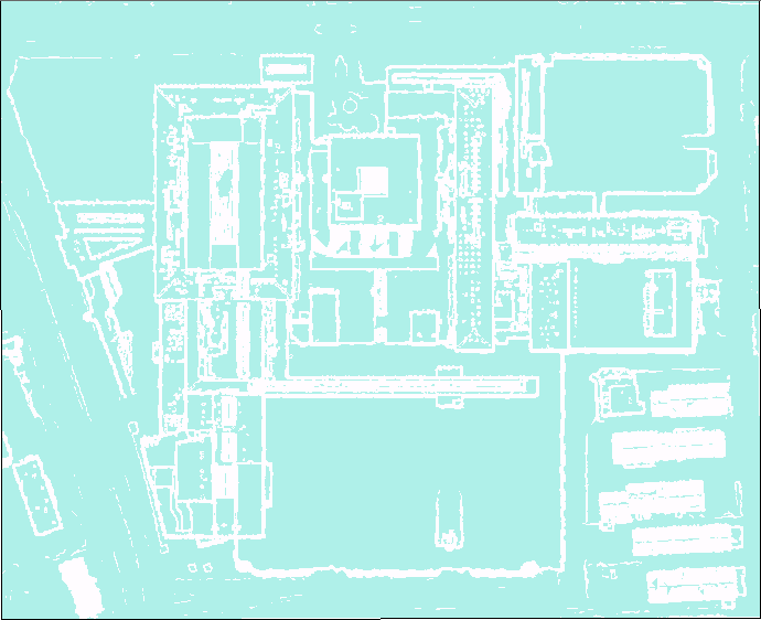
I got my DSM, and I have used a GP tool slope, to get a raster which actually visually is close to what I need. I’ve reclassed the Raster into two classes, and I’ve also tried a int.
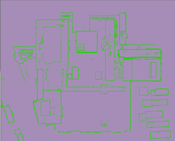
Then I’ve tried converting the raster to TIN, removed Hillshades, and again reclassed. This also looks like a start.
My DSM:
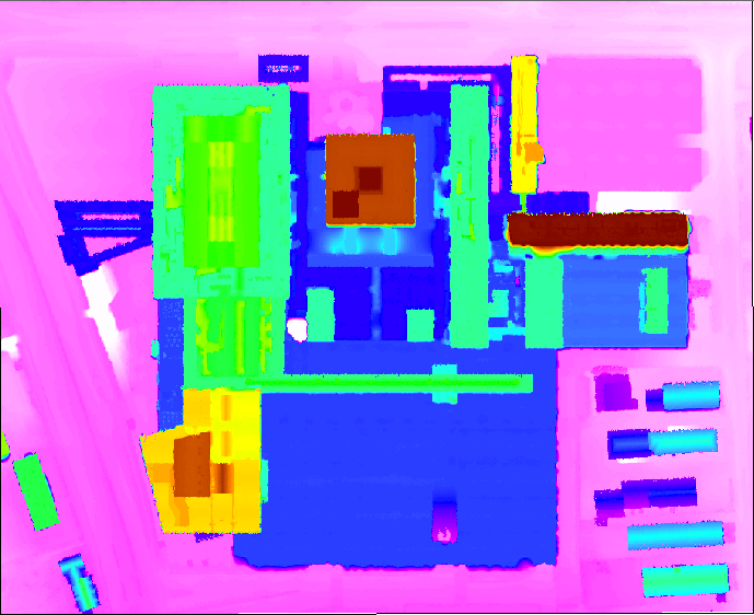
Now I’m thinking that a better way, if possible could be something like (Thinking out loud):
Something like the TIN view, combined with the DSM, but make the raster grow into each other, and nicely split by the significant overlap??
I got a detailed LIDAR dataset classified with the spacing of 0.4 meters. If there is an easier workflow with the use of LIDAR, I am all ear.
Thanks


