Hello,
ArcGIS Online is configured to use ArcGIS World Geocoding Service, using this geocoding service for batch geocoding consumes credits, so I moved to create my own geocoding service and I added it to utility services in the ArcGIS organization account and I was able to use it in the search box in WAB, but I couldn’t figure out how to set it as a default geocoder for my organization to avoid consuming the credits!
http://doc.arcgis.com/en/arcgis-online/administer/configure-services.htm
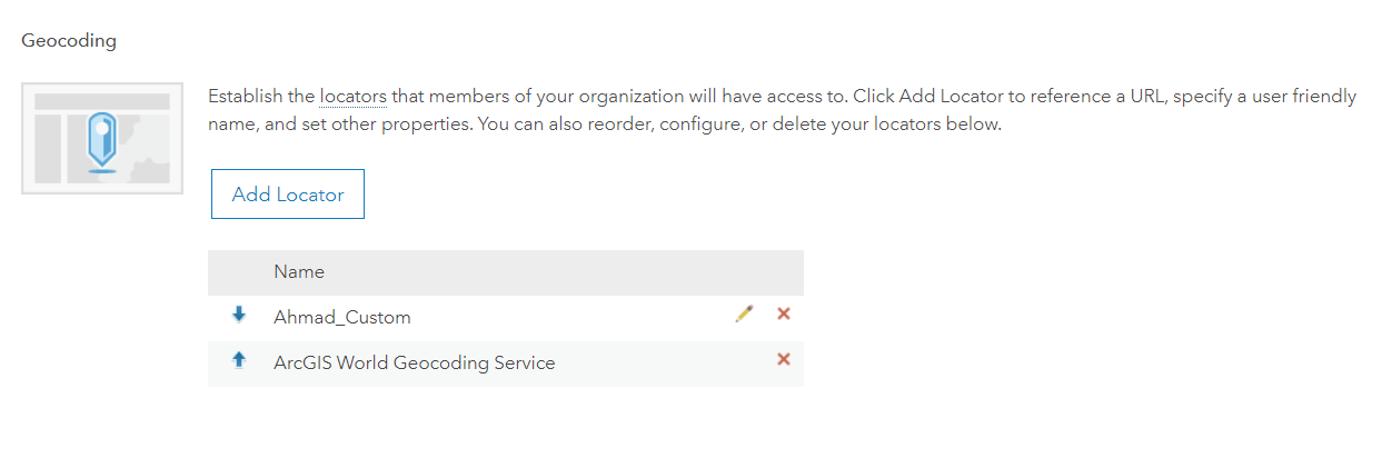
I am asking this because when I use the Add data widget it doesn’t ask me to choose which geocoder to use to batch geocode a CSV?
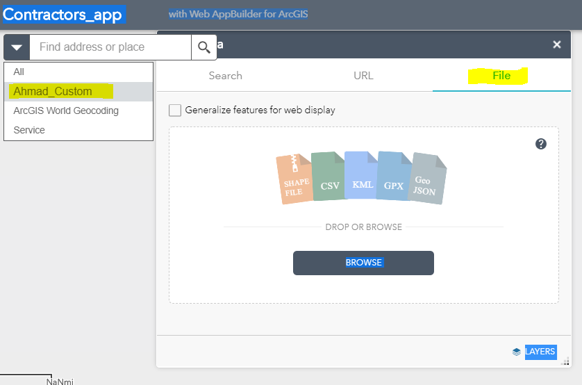
Also using ArcGIS Maps for Office, and here I am quoting the documentation in the below like:
“ArcGIS Maps for Office uses the default geocoder your administrator configured in ArcGIS”
https://doc.arcgis.com/en/maps-for-office/install-and-configure/configure-a-custom-geocoder.htm
it seems that there is a place to configure this but I couldn’t find it out, any help is highly appreciated!
Thank you,
Ahmad


