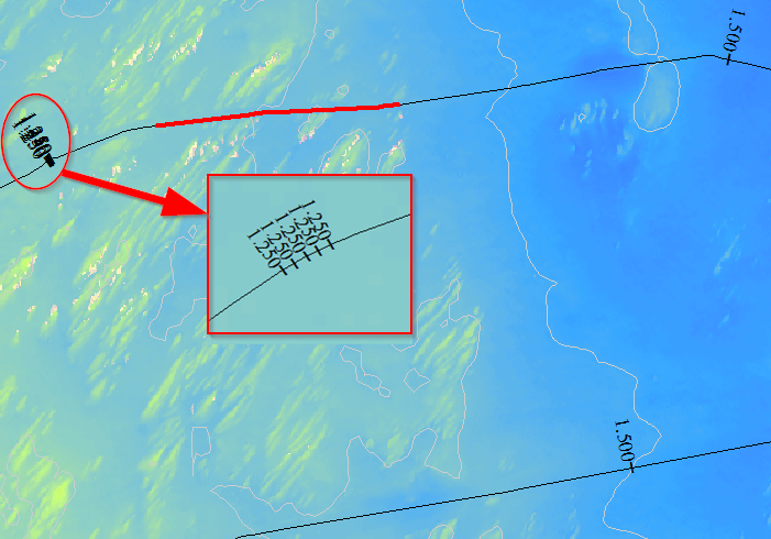
After calibrating a route, I have some of the hatches showing multiple times. When zoomed in they show real close together as illustrated in the image below. Does anyone have seen this before, and know what the solution is to remove those multiple hatches, and make sure of a correct calibration?
Thanks in advance!
GIS for Hydrographic Surveying