Living Atlas Team -
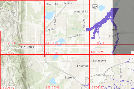
We noticed today that the US Flood Risk layer is missing areas for Boulder, Colorado. Is it possible that the US Flood Risk layer is out of sync with the FEMA National Flood Hazard Layer?
We were planning to use this layer during an upcoming flood exercise.
Esri Layer
www.arcgis.com/home/item.html?id=6b09b1c163c740559dc31cce9144222e
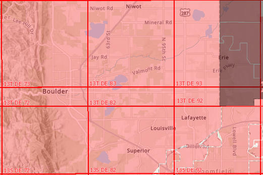
FEMA NHFL (Red indicates availability - zoom in to see detailed layer)
https://hazards.fema.gov/gis/nfhl/rest/services/public/NFHL/MapServer
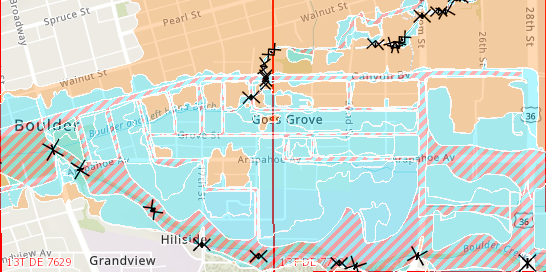
Thank you for looking into this and please let us know what you find
pdoherty@publicsafetygis.org and tricec@bouldercolorado.gov




