Hello,
I use arcmap desktop 10.2.2. In the workflow i use atm i make a geotiff use the export map option in arcmap. I need 4000dpi and i use geotiff tags and compression (LZW).
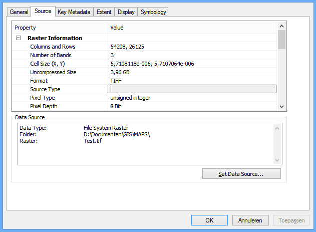
The resolutions of my geotiff is. See png
I use the geotiff as raster for a 3D simulation. The software i use for this needs a specific resolution. They need to by in the power of 2. So the rows and columns need to by 4096, 8192, 16384, 32768, 65536, 131072 etc.
As far as i know i cannot set this in arcmap. So i use qgis for this see png.
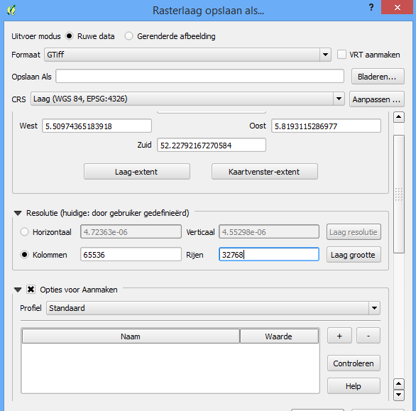
Only problem i have there that qgis is not that good with compression. My 120k kb geotiff is a 4194k geotiff after its the right size. This size is not good for the performance.
Is there a tool in arcmap where i can set the resolution? Or can anybody think off a workaround
thank you and greetings Peter


