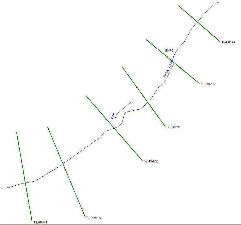
The instructions for HEC-GeoRAS has you digitize river center lines from upstream to downstream, and when that gets imported into HEC-RAS gets the direction right. However XS Cut Line station distances end up accumulating in the wrong direction: the XS Cut Line attributes for the most upstream XS has the highest station value, as shown below. I do know that engineers tend to count distances moving upstream, in contrast to hydrologists and boaters, so maybe there's some confusion. Anyone know? And how to get all of this working right?