Esri has partnered with the developer of HydroSHEDS, Confluvio Consulting, along with other international organizations to develop a higher resolution, more accurate network of streams and rivers for North and South America.
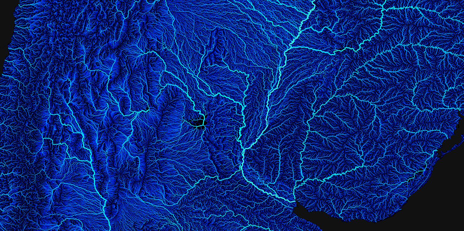
Three services are now available in Living Atlas:
- River Streamlines: The centerline features for each stream and river. The layer provides attributes that describe flow direction, the upstream and downstream segments, along with information about the total stream network.
- River Nodes: The node points define the start/end of a stream segment.
- Basins: The drainage catchment area for each streamline segment.
To learn more about the services and sources, visit this blog.
