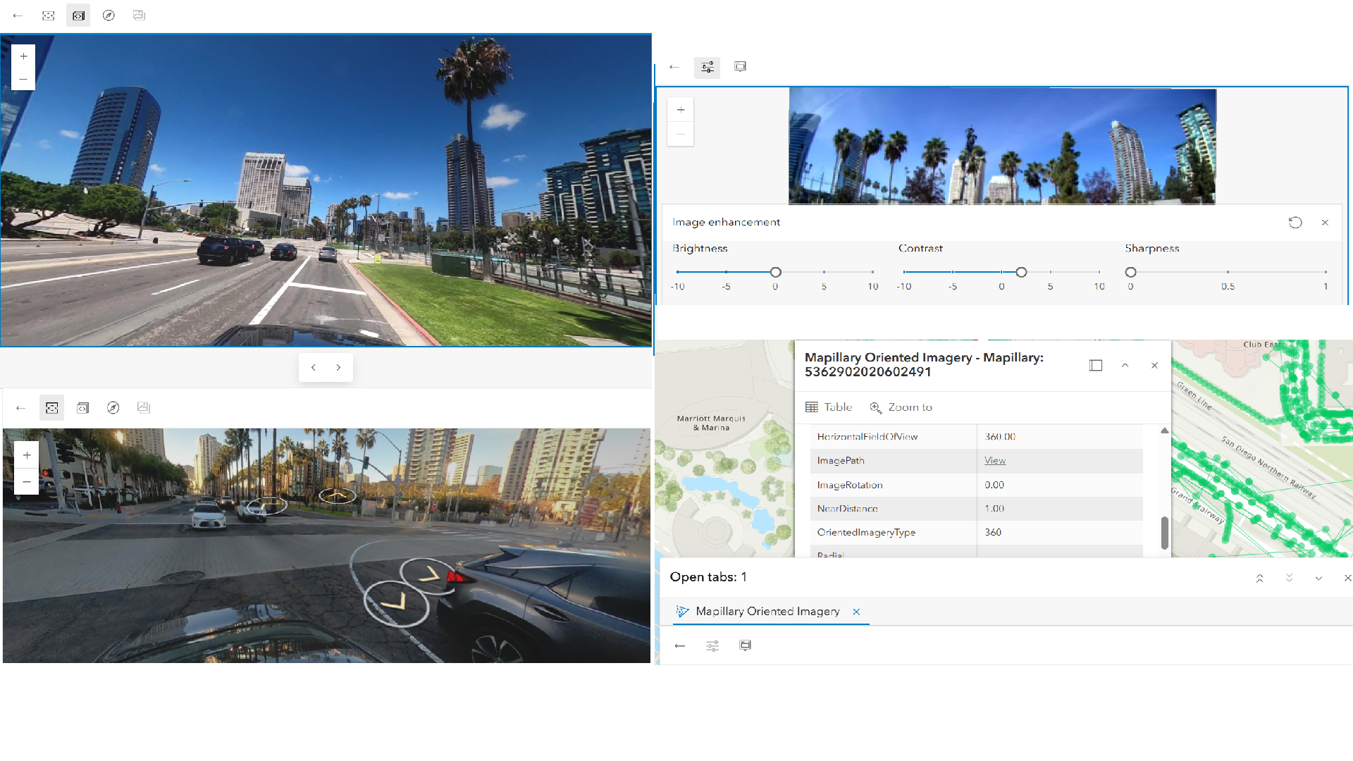
Along with the ArcGIS Online June 2026 update, we are excited to announce that a new Mapillary global street-level imagery (beta) is available in ArcGIS Living Atlas, accessing more than 3 billion street-level view images from Mapillary’s crowdsourced datasets that are growing daily.
This publicly available imagery layer brings another valuable and accessible global dataset to the ArcGIS user community. You can easily integrate immersive, street-level oriented imagery views into your daily mapping workflows, and share with your audience via maps, 3D scenes, and web applications.
Read the full blog for more information.