After a severe storm, ports need to know what's changed on the seafloor: shoaling, debris, navigation aids that have shifted or gone missing, before they can safely reopen.
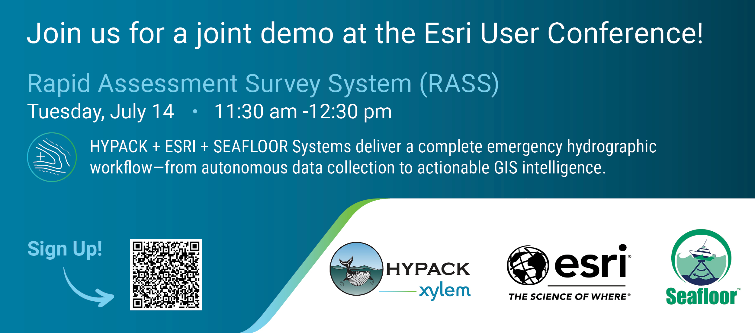
At Esri UC 2026, Esri has partnered with HYPACK and Seafloor Systems for a live demo of a post-storm port recovery scenario, from autonomous survey data collection through GIS-based analysis and decision-making.
Attend this session to discover:
- How ArcGIS Bathymetry turns raw survey data (BAG, S-102) into maps decision-makers can act on
- How autonomous USVs, HYPACK, and Esri are working together in a single, integrated workflow
- Ways to apply this approach to your own organization and accelerate S-100 implementation
Who should attend:
- Hydrographers
- Port Authorities
- Pilots
- Hydrographic Offices
- Maritime GIS professionals
- Date: Tues, July 14, 11:30am–12:30pm
- Location: San Diego Ballroom A, Marriott
---------------------------------------------------------------------
After the session
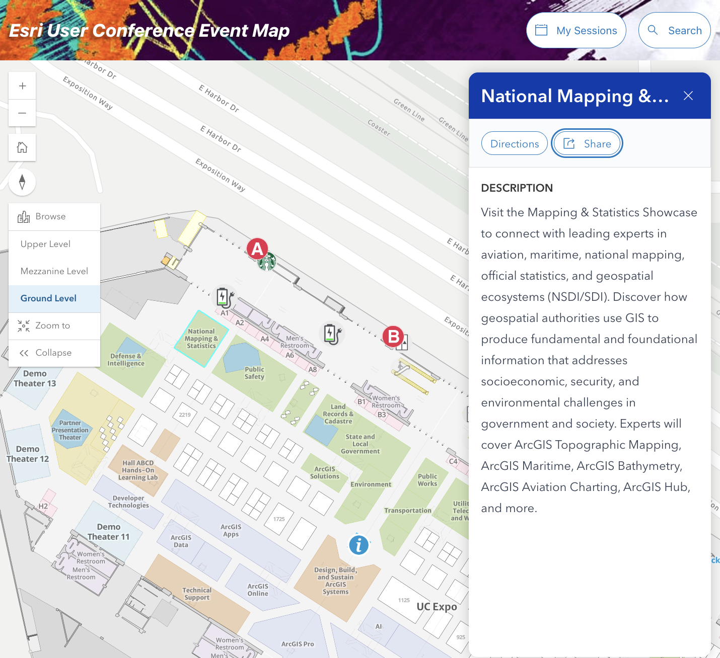
Visit the National Mapping & Statistics Showcase to connect with the Esri Maritime team and talk through how this can be applied to your work.