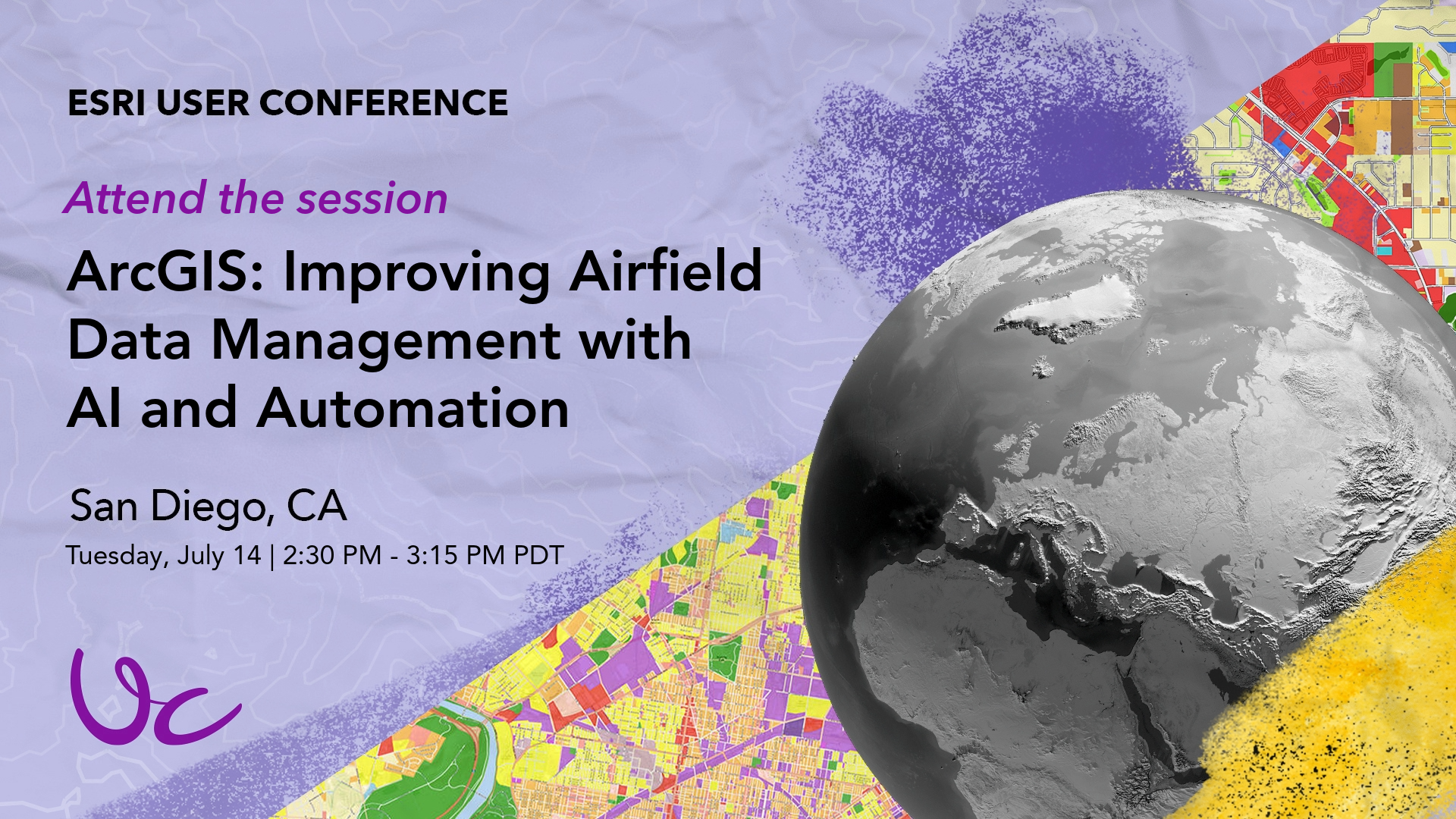
At the 2026 Esri User Conference you can expect to see the latest advancements in how ArcGIS is shaping the Aviation and Airports industry, supporting compliance and safer operations. This year, there is an ArcGIS Aviation Airports session to see how AI can extract airfield sign data from images, manage it within Aviation Airports, and analyze obstacles using a web-based application.
Explore the session details here
