When Malaria Changed How I Think About Healthcare Accessibility
About the Author
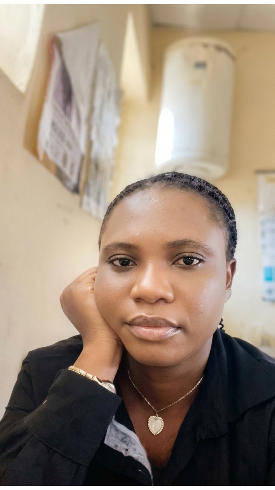
Rachael Andrew is a GIS master's student from Nigeria with interests in public health, healthcare accessibility, and spatial analysis. Her research focuses on using geospatial technologies to better understand healthcare access and support evidence-based decision-making.
A Personal Experience with Malaria
As GIS professionals and students, we often analyze healthcare accessibility through maps, datasets, and spatial models. We calculate distances, estimate travel times, and identify underserved communities.
Recently, I came down with malaria. While recovering, I still had to report to work at a healthcare facility. Experiencing illness firsthand made me realize how quickly access to healthcare becomes a priority when you are the one in need of care.
Observing Healthcare Access in Practice
During this period, I observed something I see regularly at work but had not fully reflected on before. Many patients travel long distances to access healthcare services.
Regardless of their financial situation, they make the journey because there are limited alternatives available to them.
What made this experience even more meaningful was the fact that healthcare accessibility is also the focus of my master's thesis research.
Looking at Accessibility Through a GIS Lens
For months, I have been studying healthcare accessibility through a geospatial lens—thinking about travel times, service coverage, and the distribution of healthcare facilities.
Yet experiencing illness myself gave me a deeper appreciation of what these concepts mean in real life.
When we create accessibility maps, we often work with coordinates, datasets, and analytical models. But behind every point on a map is a person seeking care.
A longer travel distance is not simply a number; it can mean delayed diagnosis, delayed treatment, increased transportation costs, or additional hardship for someone who is already unwell.
Beyond Distance: What Accessibility Really Means
This experience also made me realize that healthcare accessibility is about more than just the presence of healthcare facilities.
A clinic may exist within a community, yet barriers such as poor road networks, transportation costs, limited services, or perceptions of healthcare quality may still influence whether people can access care when they need it.
These observations raise important questions.
Why do some people travel long distances for healthcare despite having facilities closer to them?
How do transportation networks influence healthcare-seeking behavior?
Are healthcare services distributed equitably across communities?
How GIS Can Help
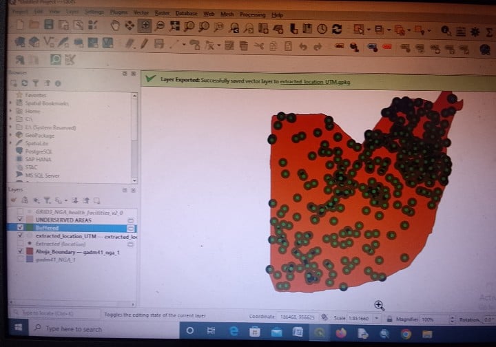
These are questions that GIS can help answer.
By combining spatial analysis with healthcare and demographic data, GIS provides valuable insights into patterns of access and helps identify areas where healthcare services may be insufficient.
Such analyses can support more informed decisions about healthcare planning and resource allocation.
Reflections for My Thesis Journey
As I continue working on my thesis, I find myself approaching the topic with a deeper sense of purpose.
Healthcare accessibility is no longer just a research topic for me, it is a reality I have experienced from both a professional and personal perspective.
This experience reinforced something I believe is central to GIS:
Every map tells a human story.
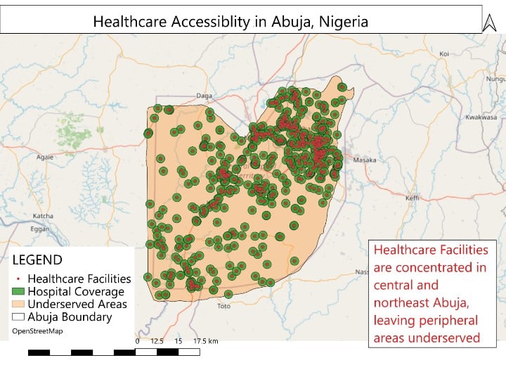
For me, a bout of malaria transformed healthcare accessibility from an academic concept into a lived experience. It reminded me why geospatial analysis matters, not only for understanding patterns and places, but also for improving lives.
I'm curious:
How has a personal experience changed the way you approach your work, research, or use of GIS? I'd love to hear your perspective in the comments.
Connect with me on LinkedIn: https://www.linkedin.com/in/rachael-andrew-09043b248



