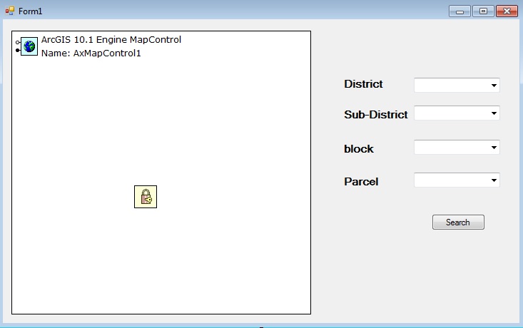
I am working now on ArcObject (.NET) stand alone application , i need to get the parcel for certain area through filtering technique (4 levels ) district , sub-district , block , parcel
each one represent by layer (separate) , what is the code will be use to retrieve the information then focus on the parcel area (target) , all layers are polygons ....
Best Regards
I like GeoNET really i like it ...