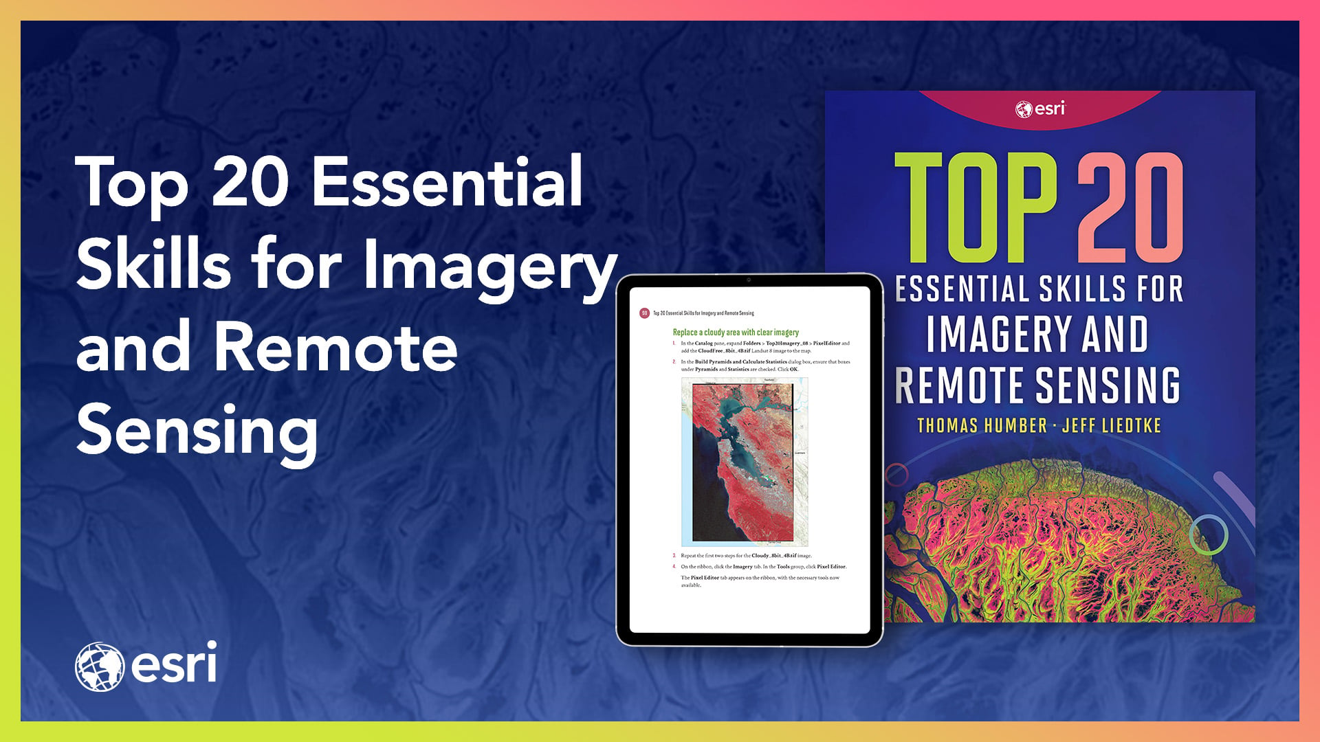
Gain the essential imagery skills you need for data preparation, data exploration, and advanced imagery analysis workflows.
Top 20 Essential Skills for Imagery and Remote Sensing is a comprehensive resource that guides readers step-by-step through the essential techniques needed to visualize, process, analyze, and manage imagery and raster products. In just a few clicks, you’ll learn the skills necessary to interpret imagery, create imagery products, and perform various imagery analysis workflows.
These concise chapters are designed for quick learning, with each chapter taking about 45 minutes to complete. Clear, easy-to-follow tutorials with practical examples consisting of instructions and screenshots make Top 20 Essential Skills for Imagery and Remote Sensing an approachable resource for users of all skill levels.
Empower yourself to use imagery and raster data effectively in your GIS projects with this comprehensive resource: https://www.esri.com/en-us/esri-press/browse/top-20-essential-skills-for-imagery-and-remote-sensing
Link to IndiePubs purchase page: https://indiepubs.com/products/top-20-essential-skills-for-imagery-and- remote-sensing-9781589488212...Enter code IMAGERY30 at checkout to get 30% off. (Valid for purchases made using the given IndiePubs link only. Available for purchases and shipping in the US and Canada.)