As some discussion is happening regarding markups and the difficulty of sharing their information, as well as some discussions that happened at work last week, it would be great to be able to export a decent-quality map showing the current view in Field Maps. This would be really useful for sharing information back with the home office while out in the field, e.g. to a public affairs person who needs an update now but doesn't know GIS enough to pull in your web map or feature layers into Pro and export a layout themselves.
We have a similar functionality already in things like Experience Builder with the print widget, which generates a plain, modest map with a legend, north arrow, and scale. For Field Maps, perhaps it would also be good to include the date and the user who exported it. Maybe, like the print widget, we could have range of options for size (Letter, Legal, or map only).
Ideally, we'd be able to choose the output format, such as a JPEG or, even cooler, a new fancy geospatial PDF so that other people can bring it into Field Maps themselves, or into Pro to overlay with other data.
Basically, the export process should consist of three questions:
- Output format: JPEG, geospatial PDF
- Extra points if the jpeg is georeferenced
- Scale or extent
- EB's print widget does a great job of this
- Output name (optional)
The current closest alternative to this is to export a screenshot of the map via the markup menu, which neither gives me marginalia nor is georeferenced, so anyone who gets it has to do some extra work to make it useful.
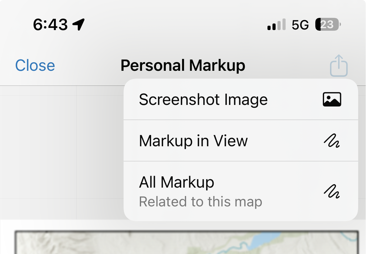
Also, the output (left) is not too different from if I just took a manual screenshot (right).
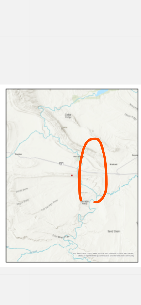
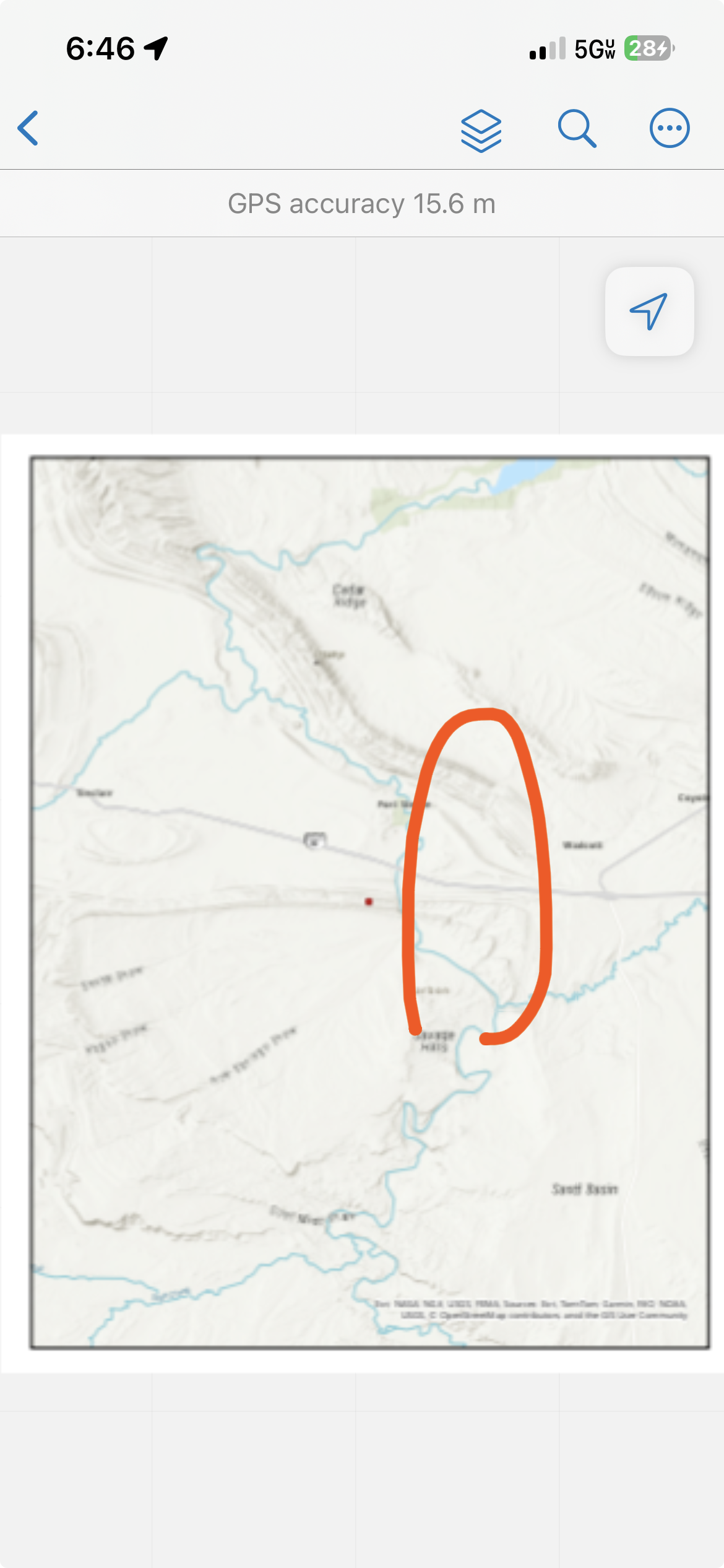
In summary, being able to export a simple map from Field Maps would be useful for sharing data from the field on demand. The current alternative of screenshotting doesn't really cut it. This would really shine while working with people who don't know GIS, or who just arrived on scene and don't have access to your webmap but need a situation overview.
With the new geospatial PDF functionality in Field Maps (February 2026), being able to export a map from Field Maps to share would smooth things and make it easier for people to do work sooner. It would also allow users to generate a map of each day's work at the end of each field day for reporting purposes and just be an all-around useful addition to Field Maps's capabilities.




