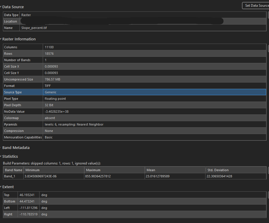
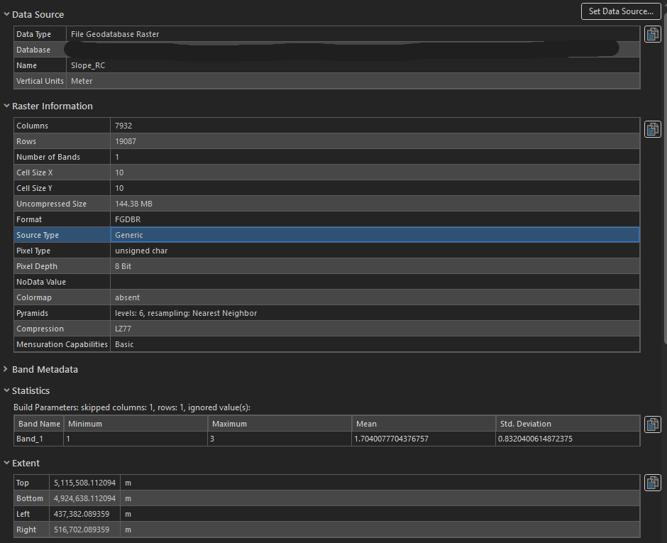
I have a raster, Slope_percentage, that I need to extract a shape of a county from. The shape extent is the same as my Slope_RC and I also have a vector polygon shape. Both raster's information is in the images below. The Slope_RC has a projected coordinate system NAD 1983 UTM Zone 12N while the tiff, Slope_percentage is a Geographic Coordinate System NAD 1983. I am using the Slope_RC as the snap raster when I extract from mask. The main issue is also the slope rc has been reclassified into 1, 2, and 3. I need to try and recreate the values break that are within it. I don't know the breaks so I am just visually matching. The Slope_percent tiff values are 3.8345069697243E-06 to 855.98364257812. Any guidance would be appreciated. I've tried to reproject the Slope_percentage. Then Extract from Mask and then reclassify but am not getting anywhere.