Sometimes, your location analysis takes you outside into the physical landscape of the site you are surveying for your business or community needs. Many retail and real-estate developers leverage the mapping visualization and analytic capabilities of ArcGIS Business Analyst Web App to find their optimal location, gleaning powerful insights from a location without ever having to step foot there. But what about the situations where field assessment is required? These may be temporary events that require selection of multi-use locations, such as community art fairs, swap meets and farmers' markets, or even holiday parades.
Did you know that ArcGIS Business Analyst Web App users have access to a FREE mobile companion for on-the-go analysis? The ArcGIS Business Analyst Mobile App offers a unique subset of capabilities allowing you to create sites, take site photos, compare and customize site facts, and run infographics—right in the palm of your hand!
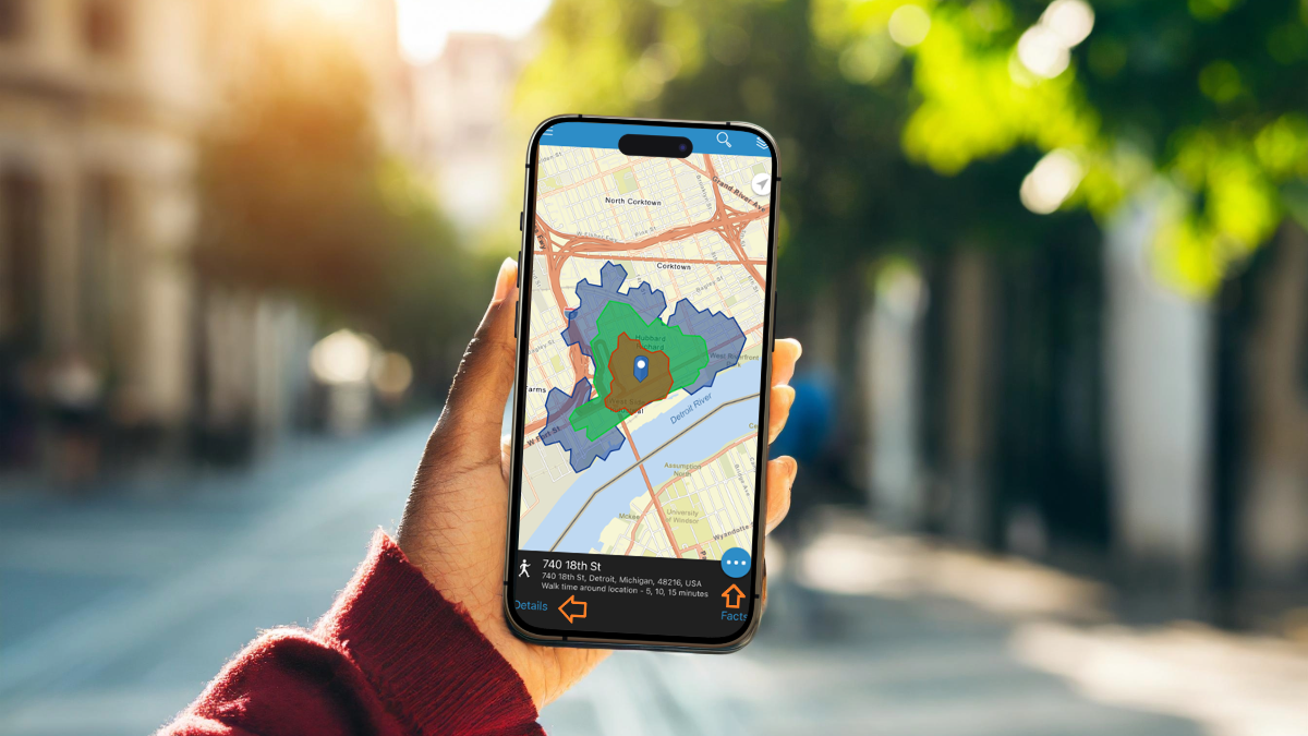
We've compiled a short list of a few blog articles that explore uses and scenarios for the Business Analyst Mobile App. This blog series puts you in the shoes of a flea market coordinator looking to establish a pop-up community event in Detroit, Michigan. This scenario combines tools like site selection, Tapestry demographics, and comparison methods to help you make the most informed decision, making the workflows easily applicable to a variety of other industries and use cases. Explore the articles below to leverage on-the-go analysis:
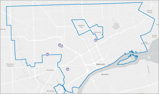
Find and create a site for a flea market in Detroit - Get started with ArcGIS Business Analyst Mobile App
Typically, flea markets are temporary street markets with various vendor booths. That means you are looking for a parking lot or open field to host your event. in this article, learn how to identify the best neighborhood and location for your flea market.
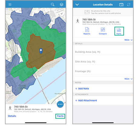
View, customize, and compare site facts for a flea market in Detroit - Get started with ArcGIS Business Analyst Mobile App
In this scenario, you used ArcGIS Business Analyst Web App at home to locate and create a site. Now, you're on the ground examining it for yourself. Use the mobile app to view, customize, and compare facts for your chosen event location.
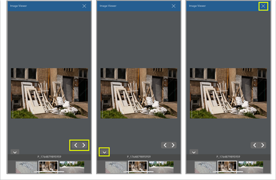
Take site photos for a flea market in Detroit - Get started with ArcGIS Business Analyst Mobile App
Adding images to a site provides a visual context to better understand the area. In this article, imagine you are adding photos of your potential pop-up site to plan and communicate event details to attendees. And maybe snap a few photos to promote it!
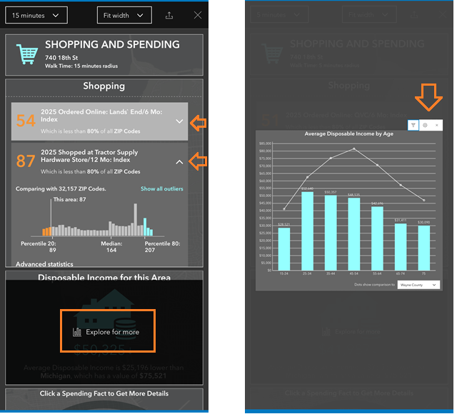
Run an Infographic on-the-go - Get started with ArcGIS Business Analyst Mobile App
Speaking of promotion, how do you determine what vendors to book and where to assign them? By looking at consumer demographics, you can learn more about the shopping and spending habits of the community living near your site and how to best attract them. Run an infographic on your mobile app to learn more about the who behind your where.

Ready to get started? Download the ArcGIS Business Analyst Mobile App today and start tapping into location analytics here, there, and everywhere!
