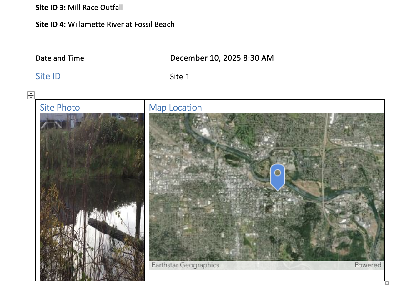
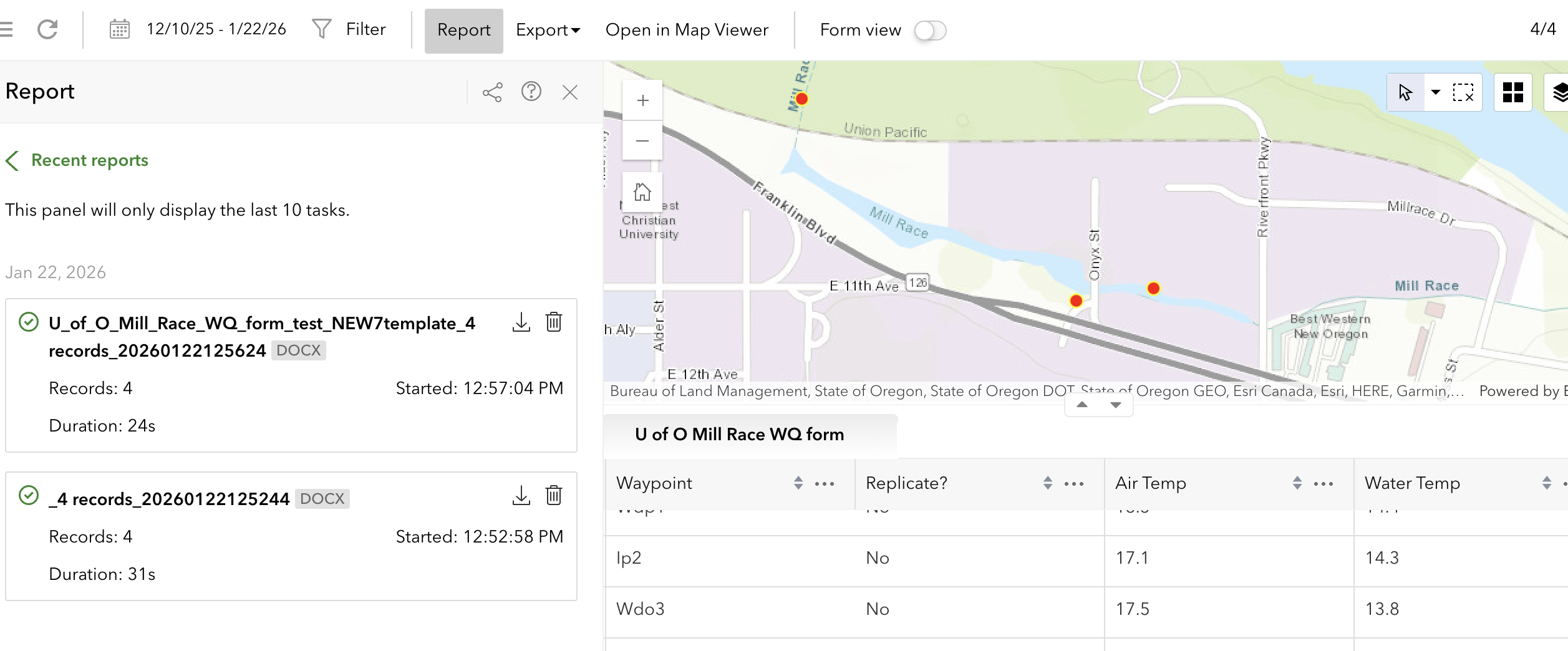
I am putting together a feature report from water quality data collected at four different sites. The map that shows up in the report is not reflective of the one in my survey and it is zoomed pretty far out so you can't really see the site exactly. How do I use any expressions to zoom my map in so I can show my field sites more accurately? Also, is there a way to change the map layer? Thanks for your help. I added a screen shot of a report cover with the un-ideal map and a screen shot of the sites shown on my data table in survey123.