"Hi, I’m Sarah, and you’re probably wondering how I got here.”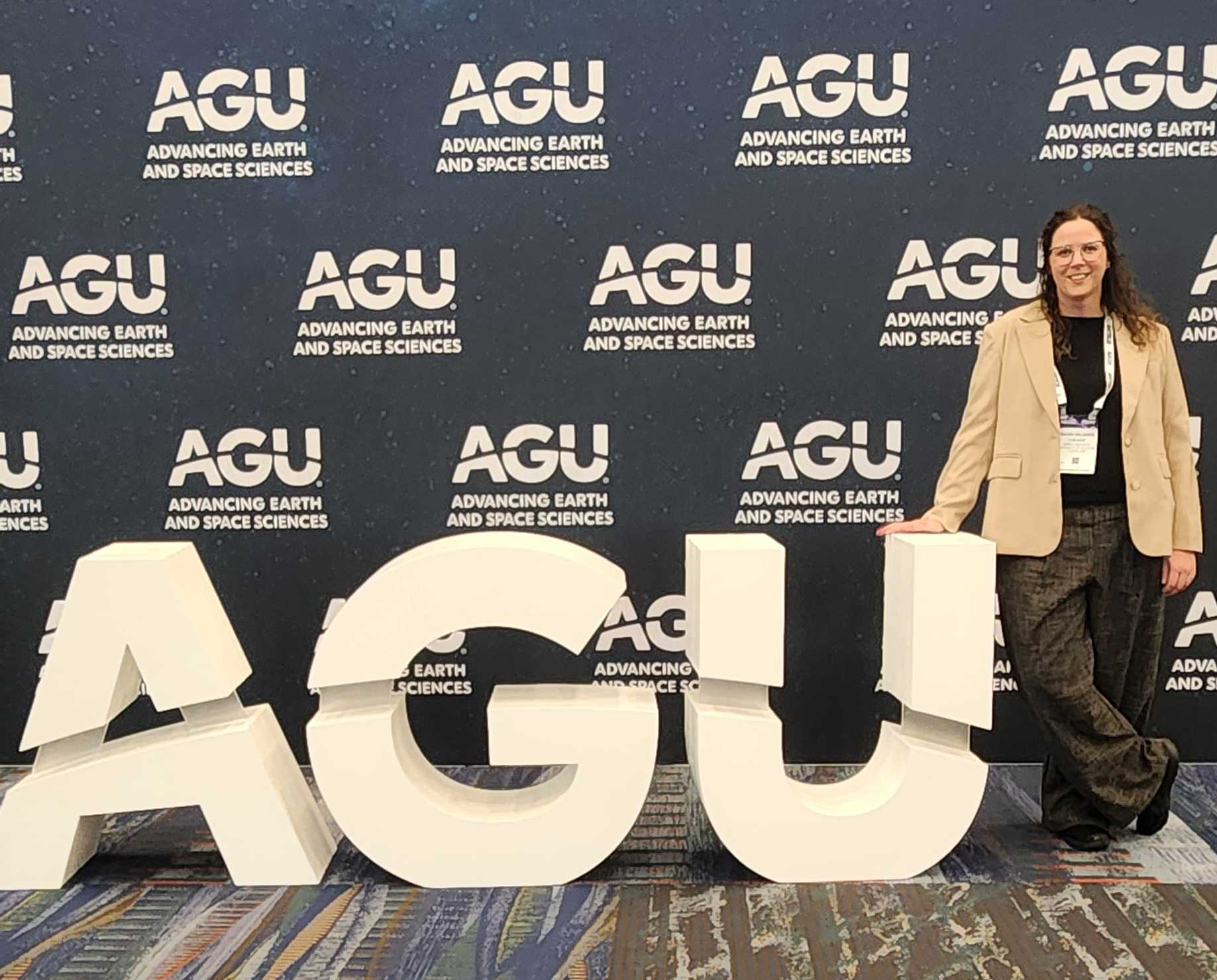
If that line sounds familiar, it’s because it’s straight out of every movie montage where the main character is about to explain a wildly unexpected series of events. In my case, “here” is standing next to a research poster at the American Geophysical Union (AGU) Annual Meeting, confidently talking about satellite data, forest resilience, and spatial analysis using ArcGIS Pro.
A few years ago, that version of me would have felt… ambitious. Possibly fictional.
From “Definitely Not a GIS Person” to Opening ArcGIS Pro Anyway
I didn’t start out as a GIS person. I didn’t take a neat, linear path into ArcGIS Pro, and I definitely didn’t wake up one day knowing what a raster calculator was or why distance-to-feature tools would become oddly exciting. I started the way a lot of students do: curious, a little overwhelmed, and very aware that ArcGIS Pro is powerful but not exactly intuitive at first glance.
So I taught myself.
Self-teaching ArcGIS Pro mostly looks like opening the software with a clear goal and absolutely no idea how to get there. It looks like pausing tutorial videos every 10 seconds. It looks like breaking something, fixing it, then breaking it again in a different way. Somewhere in that process, though, the maps start making sense. Layers stop feeling abstract. Tools stop feeling random.
You begin to realize that GIS isn’t just software. It’s a way of thinking spatially about questions that actually matter.
The Resources That Actually Made the Difference
I didn’t learn ArcGIS Pro in isolation, and I didn’t rely on a single course or textbook. What worked for me was combining a few key resources and using them when I needed them, not all at once.
The Esri Community quickly became one of my most valuable tools. Reading through forum threads, seeing how other users phrased their problems, and learning from solutions offered by Esri staff and experienced GIS users helped me realize I wasn’t “doing it wrong,” I was just learning. Often, someone else had already asked the exact question I was stuck on.
I also relied heavily on Esri’s official documentation and tutorials, especially when I needed to understand why a tool behaved the way it did rather than just what buttons to click. Working through short, targeted tutorials made it easier to connect individual tools into full workflows.
Beyond that, short videos on YouTube, targeted web searches, and carefully chosen walkthroughs helped fill in gaps as my projects became more complex. Instead of trying to master everything, I focused on learning exactly what I needed for the question in front of me.
Turning Curiosity into Research with ArcGIS Pro
For me, those questions centered on environmental change. I was working with long-term satellite data to understand forest condition, disturbance, and recovery across hydrologically complex landscapes. ArcGIS Pro became the bridge between raw imagery and meaningful patterns. NDVI and NBR stopped being just acronyms and started becoming indicators of real ecological processes unfolding over decades. Distance-to-river wasn’t just a measurement, it became a proxy for hydrological influence. Fragmentation wasn’t just visible, it was quantifiable.
What surprised me most was how empowering ArcGIS Pro felt once I stopped trying to “know everything” and focused on learning exactly what I needed for the question in front of me. I didn’t memorize every tool. I learned workflows. I learned how to test assumptions. I learned how to ask better questions of my data. ArcGIS Pro gave me the structure to turn curiosity into analysis, and analysis into something I could stand up and explain to other scientists.
That shift from learning tools to building workflows changed how I approached research.
Presenting at AGU: A Full-Circle Moment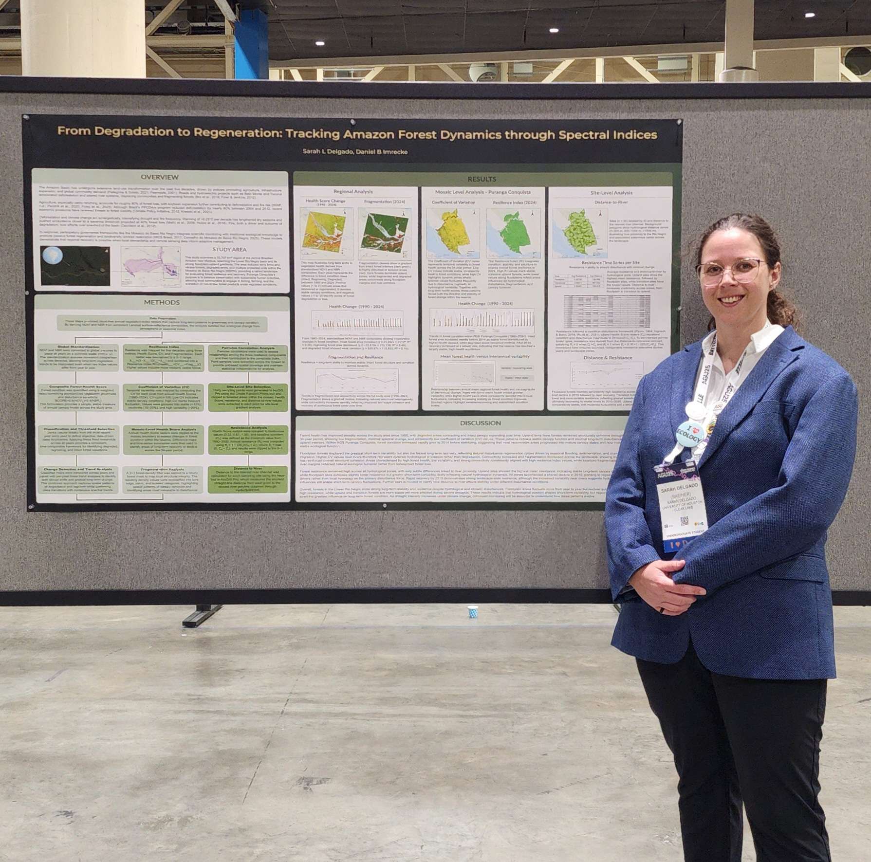
Presenting my work at AGU25 was one of those moments where everything quietly clicked. The software I once opened with mild fear had become the backbone of research I could clearly defend, explain, and place within broader scientific conversations.
My poster presented a remote-sensing–based analysis of forest condition, disturbance, and recovery across hydrologically complex landscapes in the central Amazon, using multi-decadal Landsat imagery spanning more than three decades. In ArcGIS Pro, I worked with time-series NDVI and NBR data to build a composite vegetation health metric that balanced canopy greenness with disturbance sensitivity. Raster Calculator workflows allowed me to standardize and compare forest condition through time, while spatial analysis tools helped translate pixel-level change into interpretable landscape patterns.
A core component of the work involved examining how hydrology and landscape context influence forest dynamics. Using distance-to-feature tools, I generated spatial proxies for river influence and compared forest condition across floodplain, edge, and upland environments. Fragmentation metrics derived from neighborhood and focal statistics helped quantify spatial structure, allowing me to move beyond simple “loss versus gain” narratives and examine how forest configuration affects recovery trajectories.
Together, these workflows turned raw satellite imagery into a framework I could reason with and explain.
Standing next to my poster, the conversations weren’t about how hard GIS was to learn. They were about interpretation and implication. We discussed how long-term satellite records can reveal slow ecological processes that short time series miss, why bounded and normalized metrics improve comparison across heterogeneous environments, and how these workflows could scale to other regions or disturbance regimes.
In that moment, what mattered to me more than any single figure or map was the ability to explain the work clearly and confidently. ArcGIS Pro wasn’t the focus of the conversation, but it supported every one of them. It allowed me to move from learning individual tools to building cohesive, reproducible workflows that turn Earth observation data into spatial insight, and ultimately, into research I could communicate with confidence.
What Self-Teaching GIS Actually Gave Me
There’s a misconception that GIS mastery requires a perfectly planned path or years of formal training before you can do anything meaningful. My experience has been the opposite.
ArcGIS Pro met me where I was and grew with me as my questions grew. Self-teaching didn’t make the process messier, it made it more meaningful. Every workflow I built solved a problem I genuinely cared about. Over time, ArcGIS Pro stopped feeling like a collection of tools and started to feel like a way to think through complex problems spatially.
And yes, sometimes it really does end with you standing next to a poster, thinking, “Wow. So that’s how I got here.”
Advice to Others Learning ArcGIS Pro
If I could offer a few pieces of advice to anyone starting out or teaching themselves ArcGIS Pro, it would begin with this: start with a question, not a tool. It’s tempting to approach GIS by trying to memorize menus or learn as many tools as possible, but that rarely sticks. When you let a real problem guide what you learn, each tool has context and purpose, and the software becomes much easier to navigate.
Using the Esri Community early and often can make a huge difference. Chances are, someone else has already encountered the same issue you’re facing and worked through it. Reading forum discussions, seeing how others frame their questions, and learning from shared solutions can accelerate understanding and help you feel less isolated in the learning process.
It’s also far more valuable to build workflows than to focus on individual maps. Understanding how steps connect, how data moves from raw input to final output, and how decisions at one stage affect results later on matters more than mastering any single tool. Over time, these workflows become reusable frameworks that you can adapt to new projects.
Allow yourself room to experiment. Breaking things, fixing them, and sometimes breaking them again is a normal part of learning GIS. Each mistake helps you understand the logic behind the software a little better, and that understanding is what leads to confidence.
Most importantly, don’t wait until you feel “ready” to use ArcGIS Pro for real projects. Learning happens fastest when the work matters to you. Meaningful questions create motivation, and that motivation carries you through the steepest parts of the learning curve.
About me
Sarah Delgado is an undergraduate Environmental Science student with a focus on geology, GIS, and remote sensing. Her research uses multi-decadal satellite imagery and ArcGIS to examine forest condition, disturbance, and recovery across hydrologically complex landscapes, with an emphasis on translating long-term Earth observation data into interpretable, spatially explicit metrics. She has presented her work at AGU and is particularly interested in the intersection of geospatial analysis, environmental change, and science communication.
Let’s Connect
If you’re interested in GIS, remote sensing, environmental research, or science communication, I’d love to connect and exchange ideas.
Esri Community
LinkedIn
I’m always open to conversations about learning GIS, navigating research projects, and figuring things out as you go.


