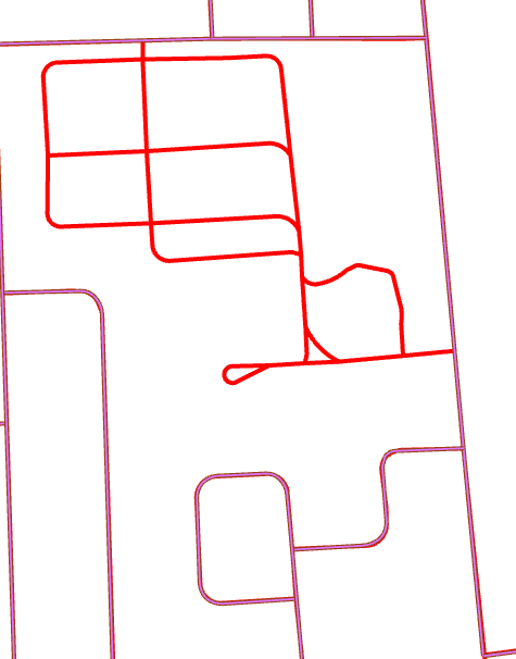
Hello, I'm looking for ideas for a workflow that compares two line feature classes and identifies roads that are missing. I have 2 road line feature classes stored in an SDE geodatabase. The lines store similar information but are created and maintained by two different departments (they have different road name standards and the geometry does not match). I would like to compare the lines and identify which ones from Roads_A are missing from Roads_B. My main concern at this point is identifying missing subdivisions like the one in red