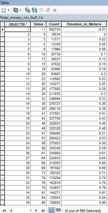
I have a Mosaic Lidar raster that I subset with just one counties elevations. They are in cm so I added an additional field to the attribute table and ran the field calculator to convert to m. Is there a way to make that new information my "Value" field? Is there a raster tool that would do this?