I have a polygon layer composed of ~140 polygons of varying sizes and shapes (the greenish in the image) along the coast, plus a polygon of the state itself (the bluish in the image). Basically, I need a shoreward buffer of the green polygons - so a buffer of 250 m on each green polygon, but only on the side of the polygon adjacent to the large blue polygon. I would like to find a way to mostly automate this process, if at all possible. Like maybe if I add the angle/direction of the blue polygon to the attribute table of the green polygons, maybe there is code that could specify the buffer goes in that direction only?
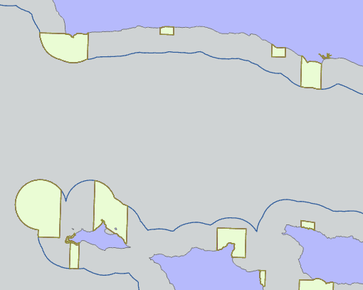
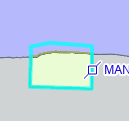
Additionally, the shoreward buffer must have an alongshore span equal to the alongshore span of the polygon itself (so like flat ends, not rounded). Like this:
I'm using ArcGIS Pro and have access to an advanced license. Appreciate any help or ideas 🙂

