This is the first time I've had to do this particular task.
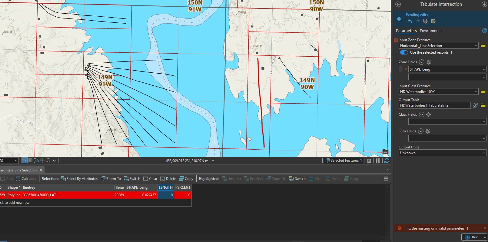
Calculating a polyline percentage that covers a specific feature, such as a waterbody? Ex: The lateral extends over the water, where I have to find what that percent is. For example, 55% is over the water, 45% is on the land.
I'm having a heck of a time learning how to do that in Pro 3.4. Have you had to do that using a geoprocessing tool, as I have close to a hundred of them?
The online and ESRI examples do not seem to help much when it has to use Tabulate Intersection tool.. Any suggestions?
This is the error I get (at the bottom).