We have been testing ArcGIS Pro 3.5.2 recently in my team, and we discovered an issue with a new geographic transformation, OSGB 1936 to WGS 1984 9, which is not recognised by ArcGIS Online after the June 2025 Update.
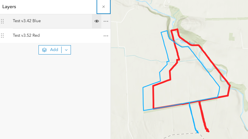
As a result, after we publish a hosted feature layer from ArcGIS Pro 3.5.2 to ArcGIS Online, the features for the hosted feature layer are shifted by approximately 10m on a map in ArcGIS Online Map Viewer when a basemap in the WGS 1984 Web Mercator (auxiliary sphere) projection is being used (e.g. ‘Topographic’). However, the features are projected correctly on ArcGIS Online when a basemap in the British National Grid projection is being used (e.g. GB Background).
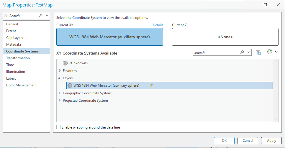
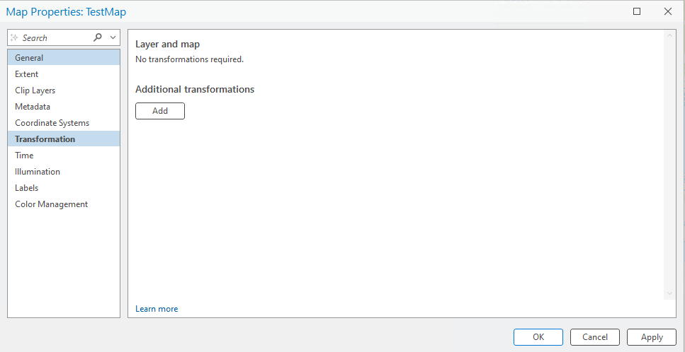
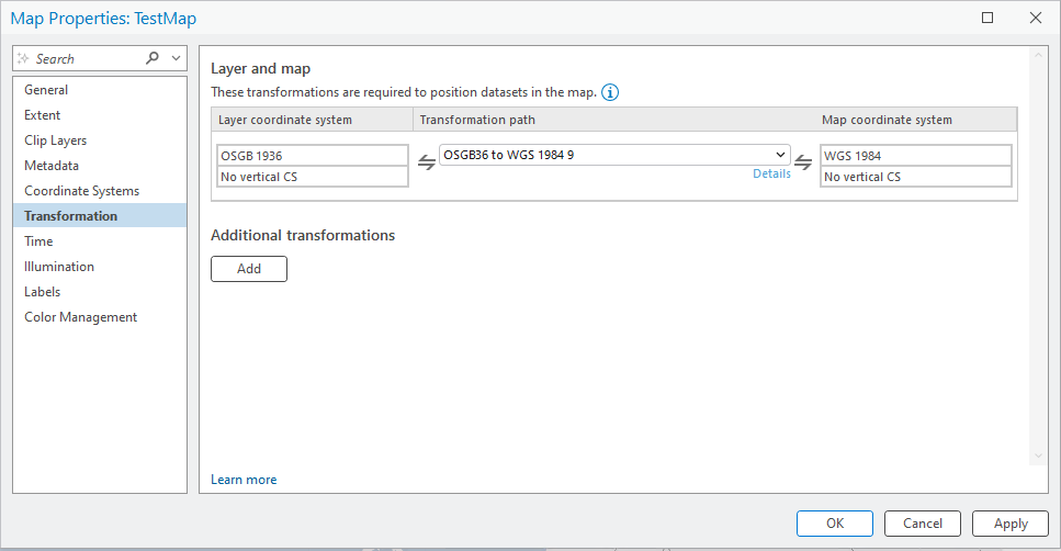
Please note that with ArcGIS Pro 3.5.2 (similarly to the previous versions), the default map projection for a new map is WGS 1984 Web Mercator (auxiliary sphere) (WKID 102100) and the transformation is None. After you change the default map projection (e.g. by adding a new basemap) to British National Grid (WKID 27700), then a geographic transformation is added to the map, which is by default (in ArcGIS Pro 3.5.2) OSGB 1936 to WGS 1984 9 (WKID 7710), which as explained above is not supported at the moment by ArcGIS Online.
The workaround we are using currently is to change the geographic transformation in ArcGIS Pro 3.5.2 from OSGB 1936 to WGS 1984 9 to WGS 1984 to OSGB 1936 OSTN15 before publishing to ArcGIS Online.
This issue is currently affecting a wider team of circa 80 Creators/Publishers in the UK from disciplines such as Geospatial, Transportation, Environment, Ecology, Landscape, Asset Management, Geotech and so forth, who are publishing content to ArcGIS Online for their projects on a daily basis.
It is crucial for us to get this sorted sooner rather than later, because we understand that it is easy for an ArcGIS Pro 3.5.2 user to miss that step of switching geographic transformations and publish content on ArcGIS Online that will be projected incorrectly on AGOL with any further implications this might have on field work, spatial analysis and mapping.