Hi,
I've been using Unreal Engine 5.4.4 alongside ArcGIS Pro 3.5 to try and produce a globe viewer that can be accessed while offline.
To achieve this I've been downloading Maps as .tpkx and .vtpk tiles respectively and loading them into Unreal by assigning their filepath to the Basemap parameter on my ArcGISMapActor.
So far this has been working fine in editor but I've been having issues with it where it will immediately crash when trying to load in the files in a packaged version of the application. This is the error I get:
LowLevelFatalError [File:D:\build\++UE5\Sync\Engine\Source\Runtime\Core\Private\Containers\ContainerHelpers.cpp] [Line: 8]
Trying to resize TArray to an invalid size of 4237727105
The size is never the same, but I'm assuming that it's to do with the size of the mesh coming in for the entire globe. I've tried setting the Memory Quotas to -1 for both System Memory and Video Memory, so it should automatically allocate an appropriate amount if I'm understanding correctly. This helped it somewhat, but it still happens a lot when running the packaged executable.
If there are any other options for lowering the fidelity of the mesh for the entire globe so it's better optimised that would also be useful.
Besides that, I also want to be able to display terrain information on the global viewer, so I've been trying to go through a similar process where I can export elevation data from ArcGIS Pro and add it as an Elevation Source on my Map Actor. To do this I followed the steps laid out in this forum post:
https://community.esri.com/t5/arcgis-maps-sdk-for-unity-questions/offline-map-can-not-load-elevation/m-p/1524276/highlight/true#M938
However, when I tried to export it, even at a low resolution, it would run forever and never progress through the exporting process. The longest I left it on for was over a week to run and it just got stuck.
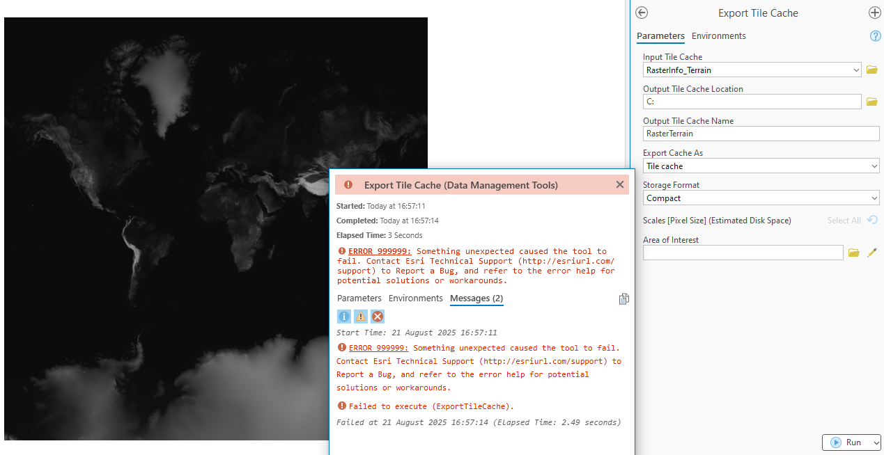
I then tried rasterizing some heightmap information and exporting that as a Tile Layer, which I could then edit the shaders in Unreal to use as elevation data. I was trying to export this rasterized layer using the Export Tile Cache function, but then I ran into an ERROR 999999 error code. I've been told that this could be a formatting issue with my input names or filepaths, so I've tried many different options, including just exporting directly into the C: drive and they all ended with the same error.
Is it possible to export elevation data and bring it into Unreal for offline using either of these methods, and if so, how should I proceed?
Thank you

